Sozial-Ökologisches Zentrum
Sozial-Ökologisches Zentrum is a community center in Dortmund, Arnsberg, North Rhine-Westphalia which is located on Gut-Heil-Straße. Sozial-Ökologisches Zentrum is situated nearby to the church Sankt Gertrudis, as well as near the mosque Hanif Moschee / Bildungszentrum e.V..| Tap on a place to explore it |
- Type: Community center
- Also known as: “SÖZ”
- Address: Gut-Heil-Straße 14, Dortmund, 44145
- Wheelchair access: yes
Places of Interest Nearby
Highlights include Naturmuseum Dortmund and Depot Immermannstraße.
Naturmuseum Dortmund
Museum

Photo: Wikimedia, CC BY-SA 2.0 de.
Naturmuseum Dortmund is situated 480 metres north of Sozial-Ökologisches Zentrum.
Depot Immermannstraße
Arts center

Photo: Wikimedia, CC BY-SA 3.0.
Depot Immermannstraße is an arts center, which is situated 440 metres northwest of Sozial-Ökologisches Zentrum.
Langer August
Community center

Photo: -ani-, CC BY-SA 2.0 de.
Langer August is a community center, which is situated 600 metres southeast of Sozial-Ökologisches Zentrum.
Places in the Area
Nearby places include Dortmund Innenstadt-Nord and Eving.
Dortmund Innenstadt-Nord
Suburb

Photo: DerMische, CC BY-SA 4.0.
Dortmund Innenstadt-Nord is a suburb.
Eving
Suburb
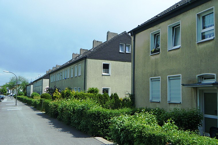
Photo: Hafenjunge, CC BY-SA 3.0 de.
Eving is a Stadtteil in the eponymous Stadtbezirk in the north of the city of Dortmund, Germany. It was incorporated into Dortmund in 1914. With a population of about 20,000 Eving is one of the most populated parts of Dortmund.
Alte Kolonie Eving
Neighborhood

Photo: Smial, CC BY-SA 2.0 de.
Alte Kolonie Eving is a neighborhood.
Sozial-Ökologisches Zentrum
- Categories: church and building
- Location: Dortmund, Arnsberg, Ruhr, North Rhine-Westphalia, Germany, Central Europe, Europe
- View on OpenStreetMap
Latitude
51.53159° or 51° 31′ 54″ northLongitude
7.4589° or 7° 27′ 32″ eastInception
1960Open location code
9F39GFJ5+JHOpenStreetMap ID
way 47737360OpenStreetMap feature
amenity=social_centreOpenStreetMap feature
building=churchOpenStreetMap attribute
wheelchair=yes
This page is based on OpenStreetMap, Wikidata, and Wikimedia Commons.
We’d love your help improving our open data sources. Thank you for contributing.
Satellite Map
Discover Sozial-Ökologisches Zentrum from above in high-definition satellite imagery.
Notable Places Nearby
Highlights include Sankt Gertrudis and Hanif Moschee / Bildungszentrum e.V..
Nearby Places
Explore places such as Gemeinschaftspraxis Gut-Heil-Straße and Ev. Markus-Kindergarten.
Ruhr: Must-Visit Destinations
Delve into Essen, Duisburg, Gelsenkirchen, and Bochum.
Curious Community Centers to Discover
Uncover intriguing community centers from every corner of the globe.
About Mapcarta. Data © OpenStreetMap contributors and available under the Open Database License". Text is available under the CC BY-SA 4.0 license, except for photos, directions, and the map. Photo: DortmunderWestfront, CC BY-SA 3.0.