Annexe bâtiment N
Annexe bâtiment N is a building in Toulouse, Haute-Garonne, Occitanie. Annexe bâtiment N is situated nearby to the university Amphi A4, as well as near Amphi A2.| Tap on a place to explore it |
Places of Interest Nearby
Highlights include École nationale de l’aviation civile and Institut national des sciences appliquées de Toulouse.
École nationale de l’aviation civile
College

Photo: Wikimedia, CC BY-SA 3.0.
École nationale de l'aviation civile is one of 205 colleges accredited to award engineering degrees in France. ENAC is designated as a grande école by the Conférence des Grandes écoles, a non-profit organisation which certifies and monitors grandes écoles. École nationale de l’aviation civile is situated 2 km east of Annexe bâtiment N.
Institut national des sciences appliquées de Toulouse
College
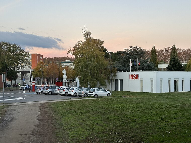 The Institut National des Sciences Appliquées de Toulouse or INSA Toulouse is a French grande école of engineering, under the authority of the French Ministry of Education and Research. Institut national des sciences appliquées de Toulouse is situated 1¼ km northeast of Annexe bâtiment N.
Rangueil Hospital
Hospital

Photo: Archaeodontosaurus, CC BY-SA 4.0.
Rangueil Hospital is situated 610 metres west of Annexe bâtiment N.
Places in the Area
Nearby places include Rangueil and Toulouse Saint-Agne.
Rangueil
Suburb
Photo: Archaeodontosaurus, CC BY-SA 4.0.
Rangueil is a residential area south-east of Toulouse in Haute-Garonne, France, where grandes écoles and Universities are located as well as an important scientific complex. It has 2,295 inhabitants.
Toulouse Saint-Agne
Suburb

Photo: Archaeodontosaurus, CC BY-SA 4.0.
Toulouse Saint-Agne is a suburb.
Toulouse Empalot
Suburb

Photo: Olybrius, CC BY-SA 3.0.
Toulouse Empalot is a suburb, which is situated 2½ km northwest of Annexe bâtiment N.
Annexe bâtiment N
- Type: Building
- Location: Toulouse, Arrondissement of Toulouse, Haute-Garonne, Occitanie, France, Europe
- View on OpenStreetMap
Latitude
43.56022° or 43° 33′ 37″ northLongitude
1.45967° or 1° 27′ 35″ eastOpen location code
8FM3HF65+3VOpenStreetMap ID
way 48394443OpenStreetMap feature
building=yes
This page is based on OpenStreetMap, Wikidata, and Wikimedia Commons.
We’d love your help improving our open data sources. Thank you for contributing.
Satellite Map
Discover Annexe bâtiment N from above in high-definition satellite imagery.
Notable Places Nearby
Highlights include Amphi A4 and Amphi A2.
Nearby Places
Explore places such as Bâtiment N and Section enseignement professionnel du lycée polyvalent Bellevue.
Haute-Garonne: Must-Visit Destinations
Delve into Boutx, Tarn, Roquesérière, and Pechbonnieu.
Curious Buildings to Discover
Uncover intriguing buildings from every corner of the globe.
About Mapcarta. Data © OpenStreetMap contributors and available under the Open Database License". Text is available under the CC BY-SA 4.0 license, except for photos, directions, and the map. Photo: PierreSelim, CC BY 3.0.