Pod Meluzínou
Pod Meluzínou is a shelter in Krásný Les, Karlovy Vary District, Karlovy Vary Region and has an elevation of 1,020 metres. Pod Meluzínou is situated nearby to the peak Meluzína, as well as near Macecha.| Tap on a place to explore it |
Places of Interest Nearby
Highlights include Meluzína and Macecha.
Meluzína
Peak

Photo: Wikimedia, CC BY-SA 3.0.
The Meluzína is a 1,094-metre-high mountain in the central Ore Mountains in the Czech Republic.

Horská louka u Háje
Nature reserve
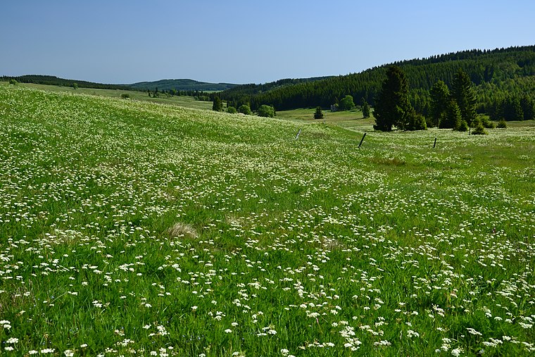
Photo: Petr Kinšt, CC BY-SA 3.0.
Horská louka u Háje is a nature reserve.
Places in the Area
Nearby places include Háj and Loučná.

Loučná
Neighborhood

Photo: Wikimedia, CC BY-SA 3.0.
Loučná is a neighborhood, which is situated 3 km northwest of Pod Meluzínou.
Loučná pod Klínovcem
Village

Photo: Wikimedia, CC BY-SA 3.0.
Loučná pod Klínovcem is a town in Chomutov District in the Ústí nad Labem Region of the Czech Republic. It has about 200 inhabitants, which makes it the second least populated town in the country. Loučná pod Klínovcem is situated 3 km northwest of Pod Meluzínou.
Pod Meluzínou
- Type: Shelter
- Categories: building, recreation area, and cabin
- Location: Krásný Les, Karlovy Vary District, Karlovy Vary Region, Czech Republic, Central Europe, Europe
- View on OpenStreetMap
Latitude
50.39528° or 50° 23′ 43″ northLongitude
13.00516° or 13° 0′ 19″ eastElevation
1,020 metres (3,346 feet)Open location code
9F2M92W4+43OpenStreetMap ID
way 484902317OpenStreetMap feature
amenity=shelterOpenStreetMap feature
building=cabinOpenStreetMap feature
leisure=picnic_table
This page is based on OpenStreetMap, Wikidata, and Wikimedia Commons.
We’d love your help improving our open data sources. Thank you for contributing.
Satellite Map
Discover Pod Meluzínou from above in high-definition satellite imagery.
Notable Places Nearby
Highlights include Na skalách and Loučná.
Nearby Places
Explore places such as 10. Mýto – Bärenwald and Pod Meluzínou.
Czech Republic: Must-Visit Destinations
Delve into Prague, Brno, Pilsen, and Ostrava.
Curious Shelters to Discover
Uncover intriguing shelters from every corner of the globe.
About Mapcarta. Data © OpenStreetMap contributors and available under the Open Database License". Text is available under the CC BY-SA 4.0 license, except for photos, directions, and the map. Photo: Mejdlowiki, CC BY-SA 4.0.