Umspannwerk Kramsach
Umspannwerk Kramsach is an electrical substation in Tyrol, Austria. Umspannwerk Kramsach is situated nearby to the church Antoniuskapelle, as well as near Museumsfriedhof.| Tap on a place to explore it |
Places of Interest Nearby
Highlights include Museumsfriedhof and Volkstheater Brixlegg.
Museumsfriedhof
Museum
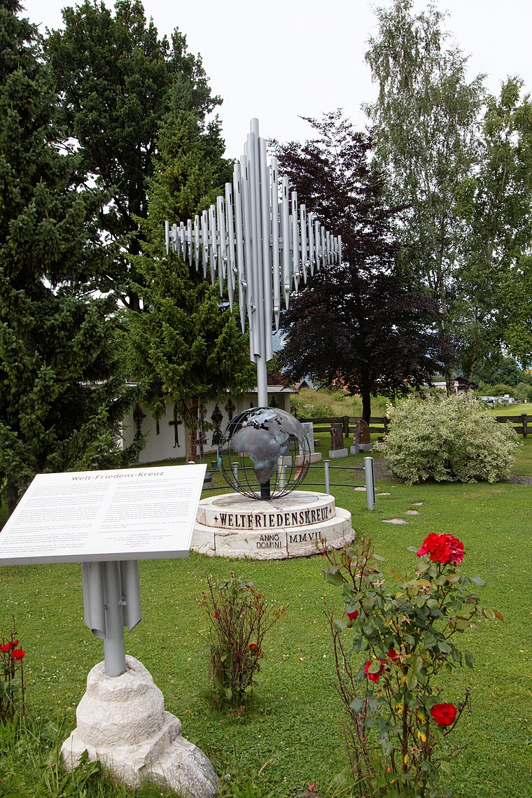
Photo: Pelz, CC BY-SA 3.0.
Museumsfriedhof is situated 430 metres east of Umspannwerk Kramsach.
Volkstheater Brixlegg
Theater building

Photo: Anachronista, CC BY-SA 3.0 at.
Volkstheater Brixlegg is a theater building, which is situated 1 km east of Umspannwerk Kramsach.
Brixlegg railway station
Railway station

Photo: Bahnhoftirol, CC BY-SA 3.0.
Brixlegg railway station is situated 1¼ km east of Umspannwerk Kramsach.
Places in the Area
Nearby places include Schloss Matzen and Alpbach.
Schloss Matzen
Locality

Photo: Wolkenkratzer, CC BY-SA 4.0.
Schloss Matzen is a historic Austrian castle, located in the Tyrol near the branch of the Ziller Valley from the main Inn valley. Strategically located to control one of the major transalpine trade routes, the origins of the castle date from Roman times and it has a distinctive round tower thought to be of possible Roman derivation.
Alpbach

Photo: Karl Gruber, CC BY-SA 3.0.
Alpbach is a ski resort village in Northeast Tyrol. Alpbach has three valley stations that lead into the large ski area with 109 km of slopes. It is known for its unique wooden construction style.
Maurach am Achensee
Village
 Maurach am Achensee is a village, which is situated 9 km west of Umspannwerk Kramsach.
Umspannwerk Kramsach
- Type: Electrical substation
- Address: 70, Hagau, Kramsach, 6233
- Category: industry
- Location: Tyrol, Austria, Central Europe, Europe
- View on OpenStreetMap
Latitude
47.43378° or 47° 26′ 2″ northLongitude
11.86534° or 11° 51′ 55″ eastOperator
TIWAGOpen location code
8FVHCVM8+G4OpenStreetMap ID
way 485429676
This page is based on OpenStreetMap, Wikidata, and Wikimedia Commons.
We’d love your help improving our open data sources. Thank you for contributing.
Satellite Map
Discover Umspannwerk Kramsach from above in high-definition satellite imagery.
Notable Places Nearby
Highlights include Antoniuskapelle and Lohr.
Nearby Places
Explore places such as BST Kramsach Bundesforste and Strabag Freilager.
Tyrol: Must-Visit Destinations
Delve into Innsbruck, Kufstein, Lienz, and Kitzbühel.
Curious Electrical Substations to Discover
Uncover intriguing electrical substations from every corner of the globe.
About Mapcarta. Data © OpenStreetMap contributors and available under the Open Database License". Text is available under the CC BY-SA 4.0 license, except for photos, directions, and the map. Photo: Traveler100, CC BY-SA 3.0.