Galería Risco del Ala
Galería Risco del Ala is a waterworks in Granadilla de Abona, Santa Cruz de Tenerife. Galería Risco del Ala is situated nearby to the ruins Choza, as well as near the peak Mount Guajara.| Tap on a place to explore it |
Places of Interest Nearby
Highlights include Mount Guajara.
Mount Guajara
Peak
 Mount Guajara is a 2,718 m high mountain on Tenerife, in the Canary Islands. It is the third highest peak of the island and of the Canary archipelago, after Teide and Pico Viejo. Mount Guajara is situated 3½ km northwest of Galería Risco del Ala.
Places in the Area
Nearby places include Vilaflor and Vilaflor.
Vilaflor
Village

Photo: Grombo, CC BY-SA 3.0.
Vilaflor is a village, which is situated 7 km southwest of Galería Risco del Ala.
Vilaflor

Photo: Javiersanp, CC BY-SA 3.0.
Vilaflor is a town on the flanks of El Teide on Tenerife, the largest of the Canary Islands. It lies off the beaten track and has therefore largely retained its originality.
Villa de Arico
Village
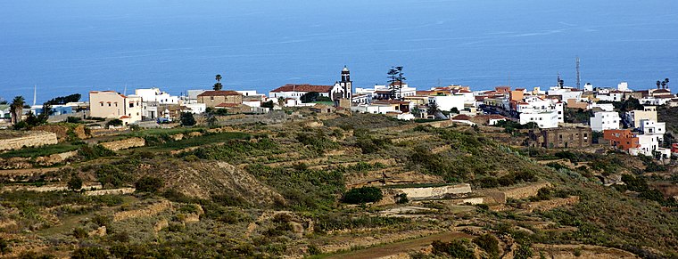
Photo: Juan Manuel Oramas, CC BY-SA 3.0.
Villa de Arico is a village, which is situated 9 km southeast of Galería Risco del Ala.
Galería Risco del Ala
- Type: Waterworks
- Category: industry
- Location: Granadilla de Abona, Santa Cruz de Tenerife, Tenerife, Canary Islands, Spain, Iberia, Europe
- View on OpenStreetMap
Latitude
28.2009° or 28° 12′ 3″ northLongitude
-16.58062° or 16° 34′ 50″ westOpen location code
7CW56C29+9QOpenStreetMap ID
way 488928408OpenStreetMap feature
landuse=industrialOpenStreetMap feature
man_made=water_works
This page is based on OpenStreetMap, Wikidata, and Wikimedia Commons.
We’d love your help improving our open data sources. Thank you for contributing.
Satellite Map
Discover Galería Risco del Ala from above in high-definition satellite imagery.
Notable Places Nearby
Highlights include Choza and Horno de Brea.
Nearby Places
Explore places such as Galería Risco del Ala and Galería Aguas del Sauce 2.
Tenerife: Must-Visit Destinations
Delve into Santa Cruz de Tenerife, San Cristóbal de La Laguna, Teide National Park, and Candelaria.
Curious Waterworks to Discover
Uncover intriguing waterworks from every corner of the globe.
About Mapcarta. Data © OpenStreetMap contributors and available under the Open Database License". Text is available under the CC BY-SA 4.0 license, except for photos, directions, and the map. Photo: Wikimedia, CC BY 2.0.