Subestação Braciais
Subestação Braciais is an electrical substation in Faro (Sé e São Pedro), Faro. Subestação Braciais is situated nearby to the monastery Carmelo de Nossa Senhora Rainha do Mundo, as well as near the village Santa Bárbara de Nexe.| Tap on a place to explore it |
Places of Interest Nearby
Highlights include Teatro das Figuras and Casa das Figuras.
Teatro das Figuras
Theater building

Photo: PauloMoreira, Public domain.
Teatro das Figuras is a theater building, which is situated 4 km south of Subestação Braciais.
Casa das Figuras
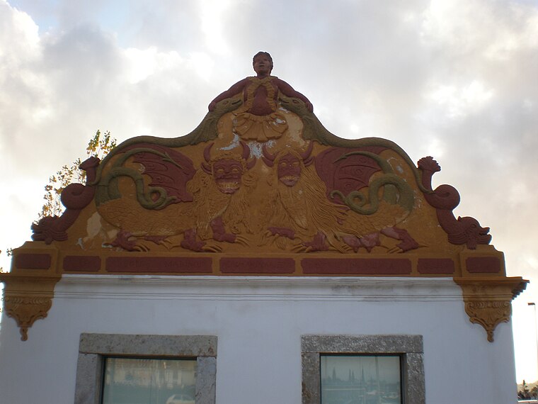
Photo: PauloMoreira, Public domain.
Casa das Figuras is situated 4 km south of Subestação Braciais.
Horta do Ourives
Building

Photo: PauloMoreira, Public domain.
Horta do Ourives is a building, which is situated 4 km south of Subestação Braciais.
Places in the Area
Nearby places include Santa Bárbara de Nexe and Pechão.
Santa Bárbara de Nexe
Village
Santa Bárbara de Nexe is a village and civil parish in the Portuguese municipality of Faro on the southern Algarve region. The population in 2011 was 4,116, in an area of 38.22 km². It is located a few kilometers from both the cities of Loulé and Faro. Santa Bárbara de Nexe is situated 5 km north of Subestação Braciais.
Pechão
Village

Photo: Pedro S Bello, CC BY-SA 4.0.
Pechão is a Portuguese parish in the municipality of Olhão. The population in 2011 was 3,601, in an area of 19.79 km². Pechão is situated 7 km east of Subestação Braciais.
Subestação Braciais
- Type: Electrical substation
- Category: industry
- Location: Faro (Sé e São Pedro), Faro, Faro District, Algarve, Portugal, Iberia, Europe
- View on OpenStreetMap
Latitude
37.06003° or 37° 3′ 36″ northLongitude
-7.94599° or 7° 56′ 46″ westOperator
E-REDESOpen location code
8C9J3363+2JOpenStreetMap ID
way 493136788OpenStreetMap feature
landuse=industrial
This page is based on OpenStreetMap, Wikidata, and Wikimedia Commons.
We’d love your help improving our open data sources. Thank you for contributing.
Satellite Map
Discover Subestação Braciais from above in high-definition satellite imagery.
Notable Places Nearby
Highlights include Carmelo de Nossa Senhora Rainha do Mundo and Moto Malta.
Nearby Places
Explore places such as Marreiros, Lda and Aviludo.
Algarve: Must-Visit Destinations
Delve into Portimão, Lagos, Tavira, and Albufeira.
Curious Electrical Substations to Discover
Uncover intriguing electrical substations from every corner of the globe.
About Mapcarta. Data © OpenStreetMap contributors and available under the Open Database License". Text is available under the CC BY-SA 4.0 license, except for photos, directions, and the map. Photo: Inkey, CC BY-SA 2.0.