Friedensberg
Friedensberg is a park in Thuringia, Germany. Friedensberg is situated nearby to the community center Lila Lokal Jena, as well as near the sports venue Turnhalle Jahnstraße.| Tap on a place to explore it |
Places of Interest Nearby
Highlights include Ernst-Abbe-Denkmal and Volkshaus Jena.

Volkshaus Jena
Theater building

Photo: ErwinMeier, CC BY-SA 4.0.
The Volkshaus in Jena was one of the first free educational institutions in Germany to be set up on the North American model. Volkshaus Jena is situated 550 metres east of Friedensberg.
Jena West station
Railway station

Photo: Daniel Mietchen, CC0.
Jena West station is to the west of the centre of the city of Jena in the German state of Thuringia at the 22.59 km mark of the Weimar–Gera railway between Weimar, Jena-Göschwitz station and Gera Hauptbahnhof. Jena West station is situated 600 metres southeast of Friedensberg.
Places in the Area
Nearby places include Jena and Damenviertel.
Jena
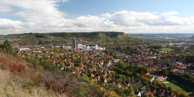
Photo: Lars0001, Public domain.
Jena is a city in the central German state of Thuringia. It is a centre of science and technology with a reputable university, several research institutes and high-tech plants, especially focusing on precision mechanics and optical industries.

Ammerbach
Suburb

Photo: Hamster3, CC BY-SA 3.0.
Ammerbach is a suburb, which is situated 2½ km southwest of Friedensberg.
Friedensberg
- Type: Park
- Category: recreation area
- Location: Thuringia, Germany, Central Europe, Europe
- View on OpenStreetMap
Latitude
50.92707° or 50° 55′ 38″ northLongitude
11.57224° or 11° 34′ 20″ eastOpen location code
9F2HWHGC+RVOpenStreetMap ID
way 49428863OpenStreetMap feature
landuse=recreation_groundOpenStreetMap feature
leisure=park
This page is based on OpenStreetMap, Wikidata, and Wikimedia Commons.
We’d love your help improving our open data sources. Thank you for contributing.
Satellite Map
Discover Friedensberg from above in high-definition satellite imagery.
Places with the Same Name
Discover other places named “Friedensberg”.
Notable Places Nearby
Highlights include Turnhalle Jahnstraße and Lila Lokal Jena.
Nearby Places
Explore places such as Unseren Gefallenen 1914-1918 and DRK Kneipp-Kita Bummi.
Curious Parks to Discover
Uncover intriguing parks from every corner of the globe.
About Mapcarta. Data © OpenStreetMap contributors and available under the Open Database License". Text is available under the CC BY-SA 4.0 license, except for photos, directions, and the map. Photo: Taxiarchos228, FAL.