Oberraning
Oberraning is a farm in Zell, Cham, Bavaria. Oberraning is situated nearby to the church Hl. Herz Jesu, as well as near the quarry Steinbruch Raning.| Tap on a place to explore it |
Places of Interest Nearby
Highlights include Walderbach Abbey.
Walderbach Abbey
Museum

Photo: Wikimedia, CC BY-SA 3.0.
Walderbach Abbey is a museum, which is situated 3½ km west of Oberraning.
Places in the Area
Nearby places include Neubäu am See and Roding.
Neubäu am See
Suburb

Photo: Xerini, CC BY-SA 4.0.
Neubäu am See is a suburb, which is situated 6 km north of Oberraning.
Roding
Town
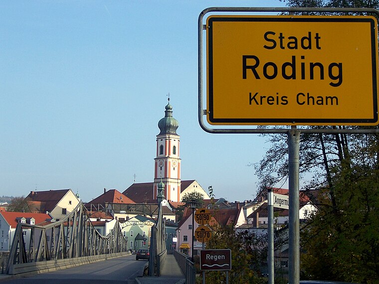
Photo: Wiki82, Public domain.
Roding is a town in the district of Cham, in Bavaria, Germany, near the Czech border. Roding is situated 7 km east of Oberraning.
Marienstein
Hamlet

Photo: Nuwv, CC BY-SA 3.0.
Marienstein is a hamlet, which is situated 7 km south of Oberraning.
Oberraning
- Type: Farm
- Category: agriculture
- Location: Zell, Cham, Upper Palatinate, Bavaria, Germany, Central Europe, Europe
- View on OpenStreetMap
Latitude
49.18173° or 49° 10′ 54″ northLongitude
12.42499° or 12° 25′ 30″ eastOpen location code
8FXJ5CJF+MXOpenStreetMap ID
way 498203031OpenStreetMap feature
landuse=farmyard
This page is based on OpenStreetMap, Wikidata, and Wikimedia Commons.
We’d love your help improving our open data sources. Thank you for contributing.
Satellite Map
Discover Oberraning from above in high-definition satellite imagery.
Notable Places Nearby
Highlights include Hl. Herz Jesu and Steinbruch Raning.
Nearby Places
Explore places such as Naturparkverein Vorderer Bayerischer Wald e. V. and Unterraning.
Upper Palatinate: Must-Visit Destinations
Delve into Regensburg, Amberg, Cham, and Schwandorf.
Curious Farms to Discover
Uncover intriguing farms from every corner of the globe.
About Mapcarta. Data © OpenStreetMap contributors and available under the Open Database License". Text is available under the CC BY-SA 4.0 license, except for photos, directions, and the map. Photo: Wikimedia, CC0.