Eagle Street Industrial Park
Eagle Street Industrial Park is an industrial building in Ontario, Canada. Eagle Street Industrial Park is situated nearby to St. Clement’s Cemetery, as well as near the church Eagle Street Christian Fellowship.| Tap on a place to explore it |
Places of Interest Nearby
Highlights include St. John Anglican Church (Cambridge) and Trillium United Church.
St. John Anglican Church (Cambridge)
Church

Photo: JFVoll, CC BY-SA 4.0.
St. John Anglican Church (Cambridge) is situated 1½ km southwest of Eagle Street Industrial Park.
Trillium United Church
Church

Photo: JFVoll, CC BY-SA 4.0.
Trillium United Church is situated 1½ km southwest of Eagle Street Industrial Park.
Knox Preston Presbyterian Church
Church

Photo: JFVoll, CC BY-SA 4.0.
Knox Preston Presbyterian Church is situated 1½ km southwest of Eagle Street Industrial Park.
Places in the Area
Nearby places include Preston and Hespeler.
Preston
Suburb
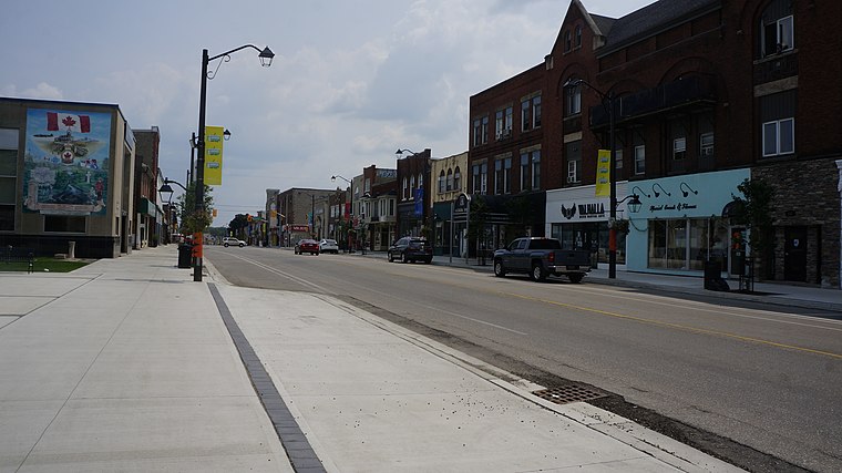
Photo: JFVoll, CC BY-SA 4.0.
Preston is a community in Cambridge, Ontario, Canada in the Regional Municipality of Waterloo, Ontario. Prior to 1973 it was an independent town, incorporated in 1915, but amalgamation with the town of Hespeler, Ontario, the city of Galt, Ontario and the village of Blair formed the new municipality of Cambridge.
Hespeler
Suburb

Photo: Kkinsinger, CC BY-SA 3.0.
Hespeler is a neighbourhood and former town within Cambridge, Ontario, located along the Speed River in the Regional Municipality of Waterloo, Ontario, Canada. Hespeler is situated 4 km northeast of Eagle Street Industrial Park.
Cambridge

Photo: Hitesh Red E, CC BY-SA 4.0.
Cambridge is one of the cities that forms a tightly-integrated metro area, along with Kitchener and Waterloo, within the larger Region of Waterloo in Southwestern Ontario.
Eagle Street Industrial Park
- Type: Industrial building
- Categories: building and industry
- Location: Ontario, Canada, North America
- View on OpenStreetMap
Latitude
43.40667° or 43° 24′ 24″ northLongitude
-80.3459° or 80° 20′ 45″ westOpen location code
86MXCM43+MJOpenStreetMap ID
way 504541730OpenStreetMap feature
building=industrial
This page is based on OpenStreetMap, Wikidata, and Wikimedia Commons.
We’d love your help improving our open data sources. Thank you for contributing.
Satellite Map
Discover Eagle Street Industrial Park from above in high-definition satellite imagery.
Notable Places Nearby
Highlights include St. Clement’s Cemetery and Eagle Street Christian Fellowship.
Nearby Places
Explore places such as Forest City Staffing and Eagle Auto.
Ontario: Must-Visit Destinations
Delve into Toronto, Ottawa, Hamilton, and London.
Curious Industrial Buildings to Discover
Uncover intriguing industrial buildings from every corner of the globe.
About Mapcarta. Data © OpenStreetMap contributors and available under the Open Database License". Text is available under the CC BY-SA 4.0 license, except for photos, directions, and the map. Photo: Wikimedia, CC BY-SA 2.0.