Sander-Stift
Sander-Stift is a social service facility in Augsburg, Bavarian Swabia, Bavaria. Sander-Stift is situated nearby to the community center St. Johannes, as well as near the post office Deutsche Post, Filiale Augsburg.| Tap on a place to explore it |
Places of Interest Nearby
Highlights include Josefinum and St. Peter und Paul.
Josefinum
Hospital
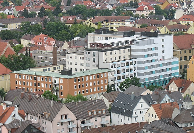
Photo: Martini171, CC BY-SA 3.0.
Josefinum is a hospital, which is situated 420 metres southwest of Sander-Stift.
St. Peter und Paul
Church

Photo: Jkü, CC BY-SA 3.0.
St. Peter und Paul is a church, which is situated 380 metres southwest of Sander-Stift.
Nordfriedhof
Cemetery

Photo: Jkü, CC BY-SA 3.0.
Nordfriedhof is a cemetery, which is situated 470 metres northwest of Sander-Stift.
Places in the Area
Nearby places include Augsburg-Oberhausen and Augsburg-Bärenkeller.
Augsburg-Oberhausen
Suburb
Oberhausen is one of the seventeen Planungsräume of the city of Augsburg, Bavaria, Germany. Located in the northern portion of the city, it is home to 29,044 residents as of December 31, 2022, making it one of the larger planning districts in terms of population.
Augsburg-Bärenkeller
Suburb
Bärenkeller is one of the seventeen highest level civic divisions, or Planungsräume, of the city of Augsburg, Bavaria, Germany. It is located in the northwestern portion of the city and consists of only one Stadtbezirk, or ward, 23 Bärenkeller, with which it is coterminous.
Augsburg-Firnhaberau
Suburb

Photo: Mailtosap, CC BY-SA 3.0.
Firnhaberau is the 28th Stadtbezirk, or city district, of Augsburg, Bavaria, Germany. It currently makes up the entire 4th Planungsraum, or planning district, of Augsburg. The district has a population of approximately 5,500 and an area of 7.42 km2.
Sander-Stift
- Type: Social service facility
- Location: Augsburg, Bavarian Swabia, Bavaria, Germany, Central Europe, Europe
- View on OpenStreetMap
Latitude
48.3881° or 48° 23′ 17″ northLongitude
10.87944° or 10° 52′ 46″ eastOperator
Altenhilfe der Stadt AugsburgOpen location code
8FWG9VQH+6QOpenStreetMap ID
way 50567243OpenStreetMap feature
amenity=social_facility
This page is based on OpenStreetMap, Wikidata, and Wikimedia Commons.
We’d love your help improving our open data sources. Thank you for contributing.
Satellite Map
Discover Sander-Stift from above in high-definition satellite imagery.
Notable Places Nearby
Highlights include St. Johannes and Deutsche Post, Filiale Augsburg.
Nearby Places
Explore places such as Aktiv-Wear and Ramos.
Bavarian Swabia: Must-Visit Destinations
Delve into Memmingen, Kempten, Füssen, and Lindau.
Curious Social Service Facilities to Discover
Uncover intriguing social service facilities from every corner of the globe.
About Mapcarta. Data © OpenStreetMap contributors and available under the Open Database License". Text is available under the CC BY-SA 4.0 license, except for photos, directions, and the map. Photo: Tilman2007, CC BY-SA 3.0.