上溝まちづくりセンター
上溝まちづくりセンター is a town hall in Chūō-ku, Sagamihara, Kanagawa. 上溝まちづくりセンター is situated nearby to the school 相模原市立上溝小学校, as well as near the playground 上溝竹の子公園.| Tap on a place to explore it |
Places of Interest Nearby
Highlights include Kamimizo Station and Daiei.
Kamimizo Station
Railway station

Photo: Mister0124, CC BY-SA 4.0.
Kamimizo Station is a passenger railway station located in the city of Sagamihara, Kanagawa Prefecture, Japan, operated by the East Japan Railway Company. Kamimizo Station is situated 380 metres northeast of 上溝まちづくりセンター.
Daiei
Supermarket

Photo: Wikimedia, CC BY-SA 3.0.
Daiei is a supermarket, which is situated 290 metres northeast of 上溝まちづくりセンター.
Banda
Railway station

Photo: Mister0124, CC BY-SA 4.0.
Banda Station is a passenger railway station located in the city of Sagamihara, Kanagawa Prefecture, Japan, operated by the East Japan Railway Company. Banda is situated 1¼ km south of 上溝まちづくりセンター.
Places in the Area
Nearby places include Hashimoto and Midori-ku.
Hashimoto
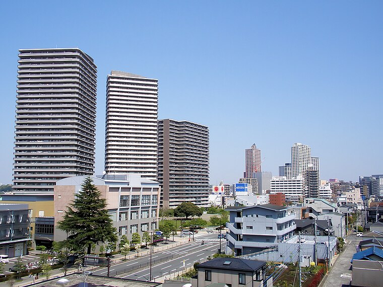
Photo: Wikimedia, CC BY-SA 3.0.
Hashimoto is in Kanagawa prefecture. A part of Sagamihara.
Midori-ku
Suburb
Photo: Aimaimyi, CC BY-SA 3.0.
Midori-ku is one of three wards of Sagamihara, Kanagawa, Japan. It's located in the western part of the city and covers about 77% of city's area. To the east Midori-ku faces Chūō-ku and to the north faces Machida and Hachiōji. Midori-ku is situated 5 km northwest of 上溝まちづくりセンター.
Negishi
Quarter
On the western coast of Tokyo Bay directly south of Tokyo, Yokohama is the second largest city in Japan and one of the cities most used to seeing foreigners. Negishi is situated 5 km northeast of 上溝まちづくりセンター.
上溝まちづくりセンター
- Type: Town hall
- Categories: building and government building
- Location: Chūō-ku, Sagamihara, Kanagawa, Kanto, Japan, East Asia, Asia
- View on OpenStreetMap
Latitude
35.55578° or 35° 33′ 21″ northLongitude
139.35969° or 139° 21′ 35″ eastOpen location code
8Q7XH945+8VOpenStreetMap ID
way 506643724OpenStreetMap feature
amenity=townhallOpenStreetMap feature
building=yes
This page is based on OpenStreetMap, Wikidata, and Wikimedia Commons.
We’d love your help improving our open data sources. Thank you for contributing.
Satellite Map
Discover 上溝まちづくりセンター from above in high-definition satellite imagery.
Notable Places Nearby
Highlights include 相模原市立上溝小学校 and 上溝竹の子公園.
Nearby Places
Explore places such as Mister Donut and 本町.
Kanagawa: Must-Visit Destinations
Delve into Yokohama, Kawasaki, Kamakura, and Yokosuka.
Curious Town Halls to Discover
Uncover intriguing town halls from every corner of the globe.
About Mapcarta. Data © OpenStreetMap contributors and available under the Open Database License". Text is available under the CC BY-SA 4.0 license, except for photos, directions, and the map. Photo: Σ64, CC BY-SA 3.0.