Brinovec
Brinovec is a residential area in Municipality of Dobrova–Polhov Gradec, Slovenia. Brinovec is situated nearby to the peak Zablat, as well as near the village Brezje pri Dobrovi.| Tap on a place to explore it |
Places of Interest Nearby
Highlights include Zaklanec and Župnijski dom.
Zaklanec
Residential area

Photo: Doremo, CC BY-SA 3.0.
Zaklanec is a village east of Horjul in the Inner Carniola region of Slovenia. Zaklanec is situated 2½ km west of Brinovec.

Places in the Area
Nearby places include Brezje pri Dobrovi and Log pri Brezovici.
Brezje pri Dobrovi
Village

Photo: Doremo, Public domain.
Brezje pri Dobrovi is an elongated village in the Municipality of Dobrova–Polhov Gradec in the Upper Carniola region of Slovenia on the road from Dobrova to Horjul.
Log pri Brezovici
Village
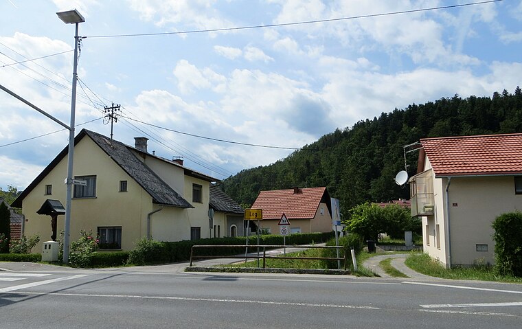
Photo: Doremo, CC BY-SA 3.0.
Log pri Brezovici is a settlement southwest of Ljubljana in central Slovenia. It is the administrative centre of the Municipality of Log-Dragomer in the Inner Carniola region.
Podolnica
Village

Photo: Doremo, CC BY-SA 3.0.
Podolnica is a village east of Horjul in the Inner Carniola region of Slovenia.
Brinovec
Latitude
46.01893° or 46° 1′ 8″ northLongitude
14.34722° or 14° 20′ 50″ eastOpen location code
8FRP289W+HVOpenStreetMap ID
way 508993913OpenStreetMap feature
landuse=residential
This page is based on OpenStreetMap, Wikidata, and Wikimedia Commons.
We’d love your help improving our open data sources. Thank you for contributing.
Satellite Map
Discover Brinovec from above in high-definition satellite imagery.
Places with the Same Name
Discover other places named “Brinovec”.
Notable Places Nearby
Highlights include Zablat and Strmca.
Nearby Places
Explore places such as 715111 ~ Brezje pri Dobrovi and Strmca.
Slovenia: Must-Visit Destinations
Delve into Ljubljana, Maribor, Koper, and Celje.
Curious Residential Areas to Discover
Uncover intriguing residential areas from every corner of the globe.
About Mapcarta. Data © OpenStreetMap contributors and available under the Open Database License". Text is available under the CC BY-SA 4.0 license, except for photos, directions, and the map. Photo: Jjtkk, CC BY 3.0.