Centre d’atenció a famílies
Centre d’atenció a famílies is a social service facility in Nou Barris, Barcelona, Catalonia. Centre d’atenció a famílies is situated nearby to Plaça de Gabriel Alomar, as well as near the school Institut Flos i Calcat.| Tap on a place to explore it |
Places of Interest Nearby
Highlights include Institut Flos i Calcat and Cementiri de Sant Andreu de Palomar.

Cementiri de Sant Andreu de Palomar
Cemetery

Photo: Enfo, CC BY-SA 3.0 es.
Cementiri de Sant Andreu de Palomar is a cemetery, which is situated 350 metres southwest of Centre d’atenció a famílies.
Fabra i Puig
Railway station

Photo: Menargues, CC BY-SA 4.0.
Fabra i Puig is a Barcelona Metro station, on L1, located in the Sant Andreu district of Barcelona, below Avinguda Meridiana between Carrer de Concepció Arenal and Passeig de Fabra i Puig. Fabra i Puig is situated 770 metres south of Centre d’atenció a famílies.
Places in the Area
Nearby places include La Prosperitat and Sant Andreu de Palomar.
La Prosperitat
Neighborhood

Photo: DaniG, CC BY-SA 3.0.
La Prosperitat is a neighborhood in the Nou Barris district of Barcelona, Catalonia.
Sant Andreu de Palomar
Neighborhood

Photo: Enric, CC BY-SA 4.0.
Sant Andreu de Palomar is a neighbourhood of Barcelona. It's the oldest part of the Sant Andreu district. It was an independent old town with over 1,000 years of recorded history before being annexed to Barcelona on 20 April 1897.
Porta
Neighborhood
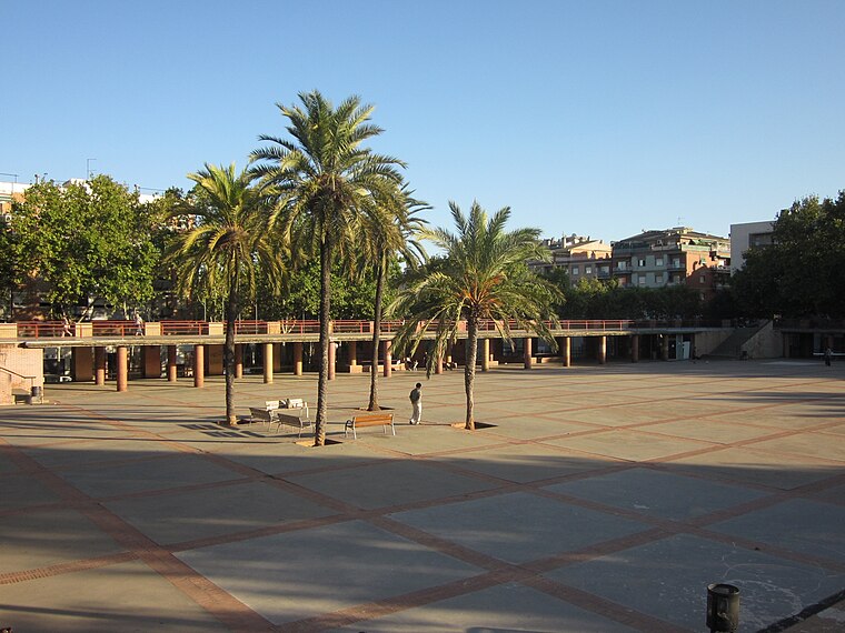
Photo: Electro07, CC BY-SA 3.0.
Porta is a neighborhood in the Nou Barris district of Barcelona, Catalonia.
Centre d’atenció a famílies
- Type: Social service facility
- Categories: government office, building, office, and public building
- Location: Nou Barris, Barcelona, Barcelona, Catalonia, Eastern Spain, Spain, Iberia, Europe
- View on OpenStreetMap
Latitude
41.43788° or 41° 26′ 16″ northLongitude
2.18235° or 2° 10′ 56″ eastOpen location code
8FH4C5QJ+5WOpenStreetMap ID
way 510253134OpenStreetMap feature
amenity=social_facilityOpenStreetMap feature
building=publicOpenStreetMap feature
office=government
This page is based on OpenStreetMap, Wikidata, and Wikimedia Commons.
We’d love your help improving our open data sources. Thank you for contributing.
Satellite Map
Discover Centre d’atenció a famílies from above in high-definition satellite imagery.
Notable Places Nearby
Highlights include Plaça de Gabriel Alomar and Parc de Bombers de Sant Andreu.
Nearby Places
Explore places such as Nacex and apartaments per a joves.
Barcelona: Must-Visit Destinations
Delve into Ciutat Vella, Eixample, Gràcia, and Sants-Montjuïc.
Curious Social Service Facilities to Discover
Uncover intriguing social service facilities from every corner of the globe.
About Mapcarta. Data © OpenStreetMap contributors and available under the Open Database License". Text is available under the CC BY-SA 4.0 license, except for photos, directions, and the map. Photo: phyrephox, CC BY-SA 2.0.