HAT-AGRO Csoport
HAT-AGRO Csoport is an industrial building in Győr-Moson-Sopron County, Western Transdanubia which is located on Tibormajori út. HAT-AGRO Csoport is situated nearby to the suburb Adyváros.| Tap on a place to explore it |
Places of Interest Nearby
Highlights include Győrszentiván railway station and Győr-Gyárváros railway station.
Győrszentiván railway station
Railway station
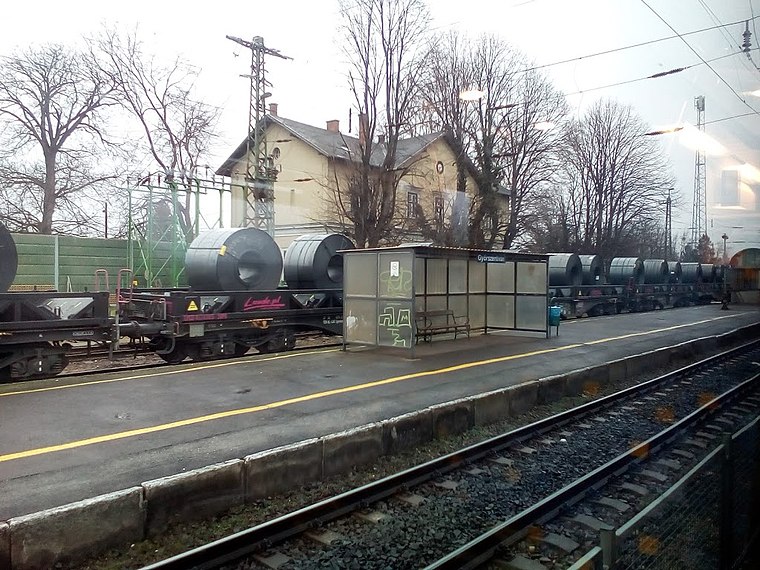
Photo: Rakás, CC BY-SA 4.0.
Győrszentiván railway station is situated 3½ km northeast of HAT-AGRO Csoport.
Győr-Gyárváros railway station
Railway stop

Photo: Rakás, CC BY-SA 4.0.
Győr-Gyárváros railway station is a railway stop, which is situated 3 km west of HAT-AGRO Csoport.
Places in the Area
Nearby places include Adyváros and Győr.
Adyváros
Suburb

Photo: Андрей Романенко, CC BY-SA 4.0.
Adyváros is a suburb, which is situated 3½ km west of HAT-AGRO Csoport.
Győr
 Győr is a city in Western Transdanubia in Hungary. It is called A barokk városa, because the old part of the city contains dozens of monumental buildings and sculptures from the 18th century.
Csanakfalu
Suburb

Photo: Wikimedia, CC BY-SA 3.0.
Csanakfalu is a suburb, which is situated 8 km southwest of HAT-AGRO Csoport.
HAT-AGRO Csoport
- Type: Industrial building
- Address: Tibormajori út 1, Győr, 9027
- Categories: building and industry
- Location: Győr-Moson-Sopron County, Western Transdanubia, Hungary, Central Europe, Europe
- View on OpenStreetMap
Latitude
47.67512° or 47° 40′ 30″ northLongitude
17.70448° or 17° 42′ 16″ eastOpen location code
8FVVMPG3+2QOpenStreetMap ID
way 512479979OpenStreetMap feature
building=industrial
This page is based on OpenStreetMap, Wikidata, and Wikimedia Commons.
We’d love your help improving our open data sources. Thank you for contributing.
Satellite Map
Discover HAT-AGRO Csoport from above in high-definition satellite imagery.
Notable Places Nearby
Highlights include Andrásvár (földvár sáncai) and Győr V. Kavicsbánya.
Nearby Places
Explore places such as Print Brokers Team Kft. and Etaset Kft..
Győr-Moson-Sopron County: Must-Visit Destinations
Delve into Sopron, Győr, Mosonmagyaróvár, and Fertőd.
Curious Industrial Buildings to Discover
Uncover intriguing industrial buildings from every corner of the globe.
About Mapcarta. Data © OpenStreetMap contributors and available under the Open Database License". Text is available under the CC BY-SA 4.0 license, except for photos, directions, and the map. Photo: Wikimedia, CC0.