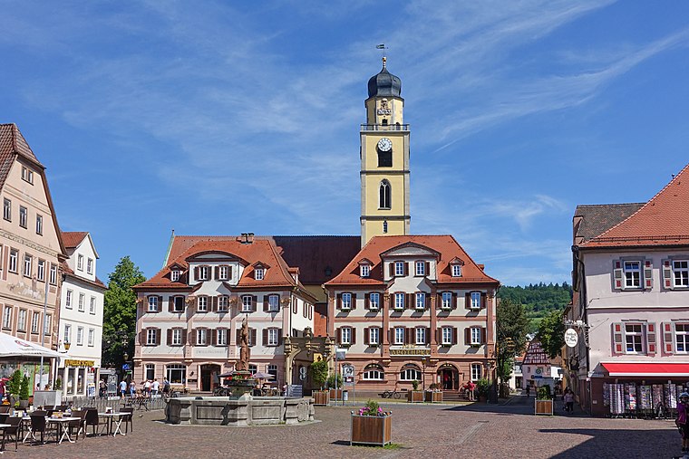
Münsterpfarramt
Münsterpfarramt is an office in Bad Mergentheim, Main-Tauber-Kreis, Baden-Württemberg which is located on Ledermarkt. Münsterpfarramt is situated nearby to the church Martinskapelle, as well as near Johanniterhof.| Tap on a place to explore it |
- Type: Office
- Denomination: Roman Catholic
- Address: Ledermarkt 12, Bad Mergentheim, 97980
Places of Interest Nearby
Highlights include Münster St. Johannes and Deutschordensmuseum.

Deutschordensmuseum
Museum

Photo: Immanuel Giel, CC BY-SA 4.0.
Deutschordensmuseum is situated 150 metres east of Münsterpfarramt.
Places in the Area
Nearby places include Igersheim and Unterschüpf.
Igersheim
Village

Photo: Schorle, CC BY-SA 3.0.
Igersheim is a municipality in the Main-Tauber district in the German state of Baden-Württemberg. Igersheim is situated 3 km east of Münsterpfarramt.

Stadtmühle
Locality

Photo: Jacquesverlaeken, CC BY-SA 4.0.
Stadtmühle is a locality, which is situated 7 km northwest of Münsterpfarramt.
Münsterpfarramt
- Category: building
- Location: Bad Mergentheim, Main-Tauber-Kreis, Stuttgart, Rhine-Neckar, Baden-Württemberg, Germany, Central Europe, Europe
- View on OpenStreetMap
Latitude
49.49161° or 49° 29′ 30″ northLongitude
9.77365° or 9° 46′ 25″ eastOpen location code
8FXFFQRF+JFOpenStreetMap ID
way 516121565OpenStreetMap feature
building=yesOpenStreetMap feature
office=religionOpenStreetMap attribute
denomination=roman_catholic
This page is based on OpenStreetMap, Wikidata, and Wikimedia Commons.
We’d love your help improving our open data sources. Thank you for contributing.
Satellite Map
Discover Münsterpfarramt from above in high-definition satellite imagery.
Notable Places Nearby
Highlights include Martinskapelle and Johanniterhof.
Nearby Places
Explore places such as Sommerhaus Rahmen and Optik Werz.
Rhine-Neckar: Must-Visit Destinations
Delve into Heidelberg, Karlsruhe, Mannheim, and Heilbronn.
Curious Offices to Discover
Uncover intriguing offices from every corner of the globe.
About Mapcarta. Data © OpenStreetMap contributors and available under the Open Database License". Text is available under the CC BY-SA 4.0 license, except for photos, directions, and the map. Photo: Wikimedia, CC BY-SA 3.0.