Fahrschule Karner
Fahrschule Karner is a driving school in Oberpullendorf, Burgenland which is located on Hauptstraße. Fahrschule Karner is situated nearby to the church Pfarrkirche Oberpullendorf, as well as near the post office Post Filiale 7350.| Tap on a place to explore it |
- Opening hours: Monday—Thursday 9:00 AM—1:00 PM, 3:00 PM—6:00 PM, and Friday 9:00 AM—6:00 PM and Saturday 9:00 AM—1:00 PM
- Email: office@fahrschule-karner.at
- Type: Driving school
- Address: Hauptstraße 99, Oberpullendorf, 7350
Places of Interest Nearby
Highlights include Pfarrkirche Oberpullendorf and Bezirkshauptmannschaft Oberpullendorf.
Pfarrkirche Oberpullendorf
Church

Photo: Bwag, CC BY-SA 3.0 at.
Pfarrkirche Oberpullendorf is a church, which is situated 220 metres northwest of Fahrschule Karner.
Bezirkshauptmannschaft Oberpullendorf
Government office

Photo: Bwag, CC BY-SA 3.0 at.
Bezirkshauptmannschaft Oberpullendorf is a government office, which is situated 350 metres northwest of Fahrschule Karner.
Ortskapelle hl. Franziskus von Assisi
Church

Photo: Bwag, CC BY-SA 4.0.
Ortskapelle hl. Franziskus von Assisi is a church, which is situated 380 metres northwest of Fahrschule Karner.
Places in the Area
Nearby places include Liebing.
Liebing
Village
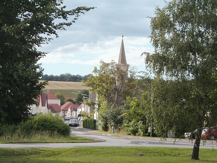
Photo: Wikimedia, Public domain.
Liebing is a village in the district of Oberpullendorf in Burgenland in Austria. It is part of the municipality of Mannersdorf an der Rabnitz. Liebing is situated 9 km south of Fahrschule Karner.
Fahrschule Karner
- Categories: building and transportation
- Location: Oberpullendorf, Oberpullendorf District, Burgenland, Austria, Central Europe, Europe
- View on OpenStreetMap
Latitude
47.4958° or 47° 29′ 45″ northLongitude
16.50905° or 16° 30′ 33″ eastOperator
DI Karl KarnerOpen location code
8FVRFGW5+8JOpenStreetMap ID
way 516477419OpenStreetMap feature
amenity=driving_schoolOpenStreetMap feature
building=yes
This page is based on OpenStreetMap, Wikidata, and Wikimedia Commons.
We’d love your help improving our open data sources. Thank you for contributing.
Satellite Map
Discover Fahrschule Karner from above in high-definition satellite imagery.
Places with the Same Name
Discover other places named “Fahrschule Karner”.
Notable Places Nearby
Highlights include Post Filiale 7350 and Oberpullendorf.
Nearby Places
Explore places such as Bäckerei Koll and Lidl.
Burgenland: Must-Visit Destinations
Delve into Eisenstadt, Neusiedl am See, Rust, and Güssing.
Curious Driving Schools to Discover
Uncover intriguing driving schools from every corner of the globe.
About Mapcarta. Data © OpenStreetMap contributors and available under the Open Database License". Text is available under the CC BY-SA 4.0 license, except for photos, directions, and the map. Photo: Wikimedia, CC BY-SA 4.0.