Hilman tupa
Hilman tupa is a building in Naantali, Turku, Finland Proper. Hilman tupa is situated nearby to Telttapaikka, as well as near Holvisauna.| Tap on a place to explore it |
Places of Interest Nearby
Highlights include Köylijärvi and Merimasku Church.

Merimasku Church
Church
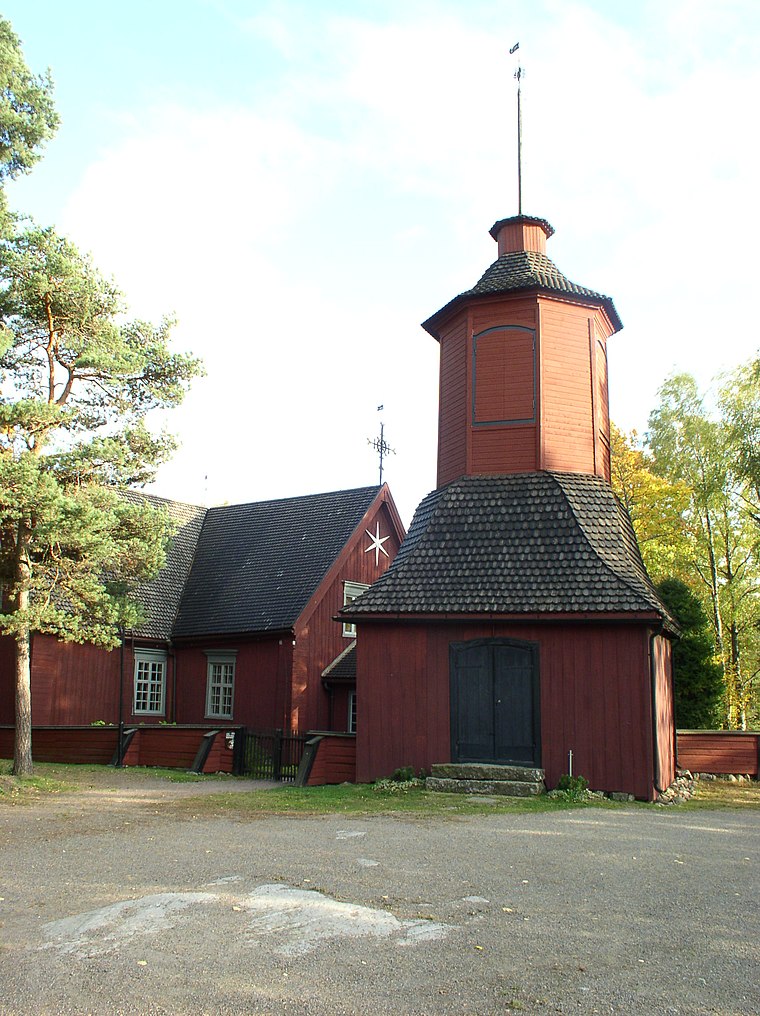
Photo: AB, CC BY-SA 3.0.
Merimasku Church is situated 2½ km north of Hilman tupa.
Särkänsalmi Bridge
Bridge

Photo: Makele-90, CC BY-SA 3.0.
Särkänsalmi Bridge is situated 2½ km east of Hilman tupa.
Places in the Area
Nearby places include Merimasku and Kultaranta.
Merimasku
Village

Photo: Jaakko.kulta, CC BY-SA 4.0.
Rymättylä and Merimasku are rural areas in the Archipelago Sea in Finland Proper, consisting of a few main islands and about 500 smaller ones. The main islands have road connection to the mainland.
Kultaranta
Neighborhood

Photo: Etelankiisla, CC BY-SA 4.0.
Kultaranta is the summer residence of the president of Finland. It is in the district of Kultaranta on the island of Luonnonmaa, in the municipality of Naantali in Southwest Finland. Kultaranta is situated 7 km east of Hilman tupa.
Rymättylä
 Rymättylä and Merimasku are rural areas in the Archipelago Sea in Finland Proper, consisting of a few main islands and about 500 smaller ones. The main islands have road connection to the mainland.
Hilman tupa
- Type: Building
- Location: Naantali, Turku, Archipelago Sea, Finland Proper, West Coast, Finland, Nordic countries, Europe
- View on OpenStreetMap
Latitude
60.45852° or 60° 27′ 31″ northLongitude
21.88099° or 21° 52′ 52″ eastOpen location code
9GG3FV5J+C9OpenStreetMap ID
way 518713825OpenStreetMap feature
building=yes
This page is based on OpenStreetMap, Wikidata, and Wikimedia Commons.
We’d love your help improving our open data sources. Thank you for contributing.
Satellite Map
Discover Hilman tupa from above in high-definition satellite imagery.
Notable Places Nearby
Highlights include Telttapaikka and Holvisauna.
Nearby Places
Explore places such as Pakari and Taattisten tilan kahvila.
Archipelago Sea: Must-Visit Destinations
Delve into Turku, Kimitoön, Nagu, and Pargas.
Curious Buildings to Discover
Uncover intriguing buildings from every corner of the globe.
About Mapcarta. Data © OpenStreetMap contributors and available under the Open Database License". Text is available under the CC BY-SA 4.0 license, except for photos, directions, and the map. Photo: Wikimedia, CC0.