Bomberos
Bomberos is a fire station in Mula, Murcia, Murcia. Bomberos is situated nearby to the pitch Pista Municipal de Deportes, as well as near the recreation area Mesa de picnic.| Tap on a place to explore it |
Places of Interest Nearby
Highlights include Castillo de la Puebla de Mula and Castillo de los Vélez, Mula.
Castillo de la Puebla de Mula
Castle

Photo: Isabeland, CC BY-SA 3.0 es.
Castillo de la Puebla de Mula is a castle, which is situated 1½ km southeast of Bomberos.
Castillo de los Vélez, Mula
Castle

Photo: Antonio d’Orleans, CC BY-SA 3.0 es.
Castillo de los Vélez, Mula is a castle, which is situated 4 km west of Bomberos.
Casa Pintada de Mula

Photo: Pina1998, CC BY-SA 4.0.
Casa Pintada de Mula is situated 3½ km west of Bomberos.
Places in the Area
Nearby places include Mula and Albudeite.
Mula
Town
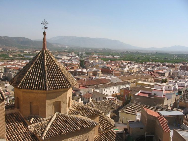
Photo: Wikimedia, CC BY-SA 3.0.
Mula is a municipality of Spain belonging to the Region of Murcia. It is located in southeastern Iberia. It has a total area of 633.84 km2 and, as of 1 January 2020, a registered population of 17,021. Mula is situated 3½ km west of Bomberos.
Albudeite
Village

Photo: Pedro J Pacheco, CC BY-SA 4.0.
Albudeite is a municipality in the Region of Murcia, Spain. Albudeite is situated 6 km east of Bomberos.
Pliego
Village

Photo: Roberto Lumbreras, CC BY-SA 2.0.
Pliego is a municipality in the autonomous region of Murcia in southeastern Spain. It is situated in the Comarca del Río Mula. It has a population of 3,868. Pliego is situated 8 km southwest of Bomberos.
Bomberos
- Type: Fire station
- Category: building
- Location: Mula, Murcia, Murcia, Eastern Spain, Spain, Iberia, Europe
- View on OpenStreetMap
Latitude
38.0412° or 38° 2′ 28″ northLongitude
-1.44885° or 1° 26′ 56″ westOpen location code
8CCW2HR2+FFOpenStreetMap ID
way 526855257OpenStreetMap feature
amenity=fire_stationOpenStreetMap feature
building=yes
This page is based on OpenStreetMap, Wikidata, and Wikimedia Commons.
We’d love your help improving our open data sources. Thank you for contributing.
Satellite Map
Discover Bomberos from above in high-definition satellite imagery.
Places with the Same Name
Discover other places named “Bomberos”.
Notable Places Nearby
Highlights include Pista Municipal de Deportes and Mesa de picnic.
Nearby Places
Explore places such as Antigua Estacion de Puebla de Mula and Panel via verde.
Murcia: Must-Visit Destinations
Delve into Cartagena, Lorca, Caravaca de la Cruz, and La Manga.
Curious Fire Stations to Discover
Uncover intriguing fire stations from every corner of the globe.
About Mapcarta. Data © OpenStreetMap contributors and available under the Open Database License". Text is available under the CC BY-SA 4.0 license, except for photos, directions, and the map. Photo: Tango7174, CC BY-SA 4.0.