Western- und Freizeitreiten
Western- und Freizeitreiten is a building in Dortmund, Arnsberg, North Rhine-Westphalia which is located on Kleyer Feld. Western- und Freizeitreiten is situated nearby to the church St. Martin, as well as near Gemeindezentrum Kley.| Tap on a place to explore it |
Places of Interest Nearby
Highlights include Dortmund-Kley station and Dorneywald.
Dortmund-Kley station
Railway stop

Photo: Stefan Flöper, CC BY-SA 4.0.
Dortmund-Kley station is in the district of Kley of the city of Dortmund in the German state of North Rhine-Westphalia. It was built on a loop line off the Witten/Dortmund–Oberhausen/Duisburg railway, which was opened on 24 September 1983 from Bochum-Langendreer to Dortmund-Dorstfeld. Dortmund-Kley station is situated 380 metres east of Western- und Freizeitreiten.
Dorneywald
Nature reserve

Photo: Sebastian “sebrem” B…, CC BY-SA 3.0.
Dorneywald is a nature reserve.
Christus unser Friede
Church
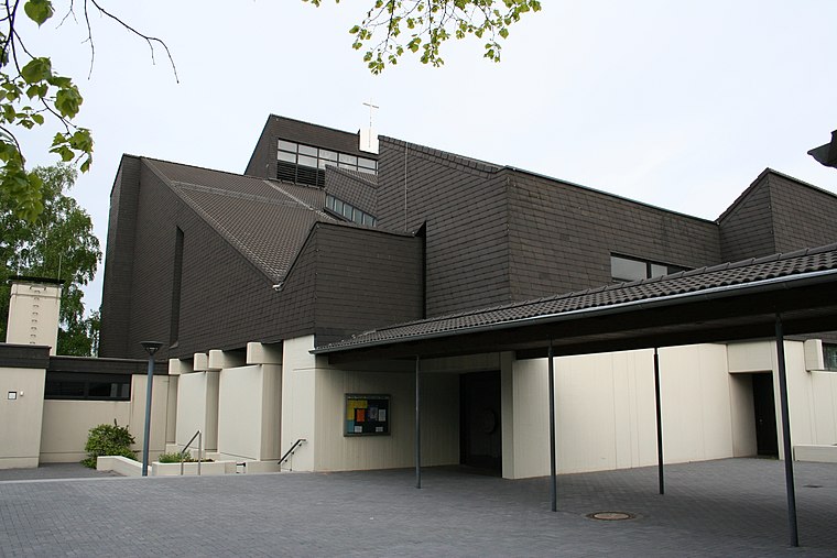
Photo: Stobs, CC BY-SA 3.0.
Christus unser Friede is a church, which is situated 1¼ km east of Western- und Freizeitreiten.
Places in the Area
Nearby places include Düren and Witten-Stockum.

Witten-Stockum
Suburb

Photo: Wikimedia, CC BY-SA 3.0.
Witten-Stockum is a borough of the City of Witten in North Rhine-Westphalia, Germany. It has about 6300 inhabitants.
Langendreer
Suburb
Langendreer is the largest and most populous district of the city of Bochum in the Ruhr area in Germany, with a population of 25,438 as of 31 December 2023. Langendreer is situated 3½ km southwest of Western- und Freizeitreiten.
Western- und Freizeitreiten
- Type: Equestrianism
- Address: Kleyer Feld 17, Dortmund, 44149
- Categories: building and sports location
- Location: Dortmund, Arnsberg, Ruhr, North Rhine-Westphalia, Germany, Central Europe, Europe
- View on OpenStreetMap
Latitude
51.48881° or 51° 29′ 20″ northLongitude
7.36016° or 7° 21′ 37″ eastOpen location code
9F39F9Q6+G3OpenStreetMap ID
way 52905120OpenStreetMap feature
building=yesOpenStreetMap feature
sport=equestrian
This page is based on OpenStreetMap, Wikidata, and Wikimedia Commons.
We’d love your help improving our open data sources. Thank you for contributing.
Satellite Map
Discover Western- und Freizeitreiten from above in high-definition satellite imagery.
Notable Places Nearby
Highlights include St. Martin and Gemeindezentrum Kley.
Nearby Places
Explore places such as Kleyer Feld and Gerber Architekten.
Ruhr: Must-Visit Destinations
Delve into Essen, Duisburg, Bochum, and Gelsenkirchen.
Curious Places to Discover
Uncover intriguing places from every corner of the globe.
About Mapcarta. Data © OpenStreetMap contributors and available under the Open Database License". Text is available under the CC BY-SA 4.0 license, except for photos, directions, and the map. Photo: DortmunderWestfront, CC BY-SA 3.0.