Complejo Municipal de Deportes
Complejo Municipal de Deportes is a sports venue in Pliego, Murcia, Murcia. Complejo Municipal de Deportes is situated nearby to the grassland Piscina Municipal, as well as near the park Parque de las Piscinas.| Tap on a place to explore it |
Places of Interest Nearby
Highlights include Castle of Pliego and La Almoloya.
Castle of Pliego
Castle

Photo: Wikimedia, CC BY 3.0 es.
Castle of Pliego is situated 710 metres northeast of Complejo Municipal de Deportes.
La Almoloya

Photo: Wikimedia, CC BY-SA 4.0.
La Almoloya is an archaeological site in Murcia, the southeast corner of the Iberian Peninsula in modern-day Spain. It is a principal site of study for the Bronze Age Argaric culture that flourished from about 2200 BC to 1500 BC and controlled territory in Iberia that is equivalent in size to modern Belgium. La Almoloya is situated 4 km south of Complejo Municipal de Deportes.
Places in the Area
Nearby places include Mula.
Mula
Town
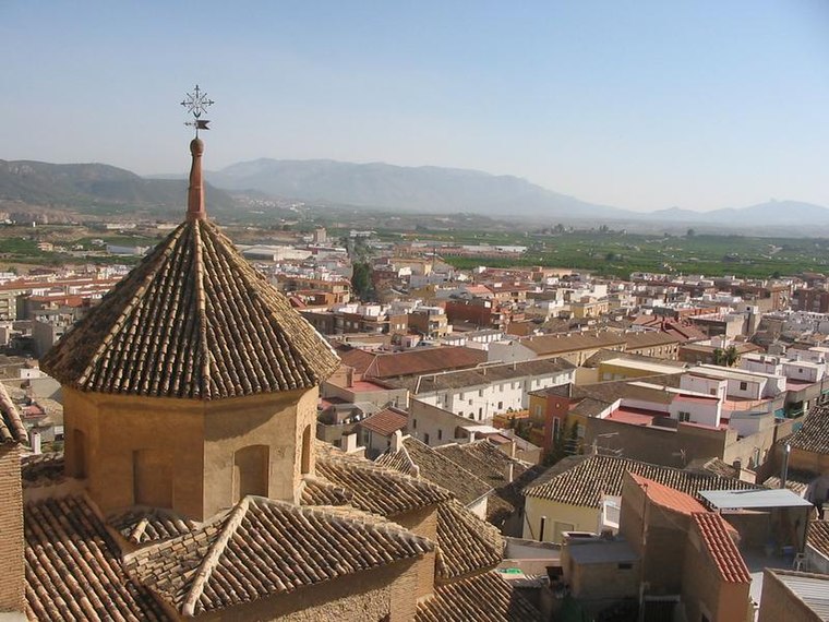
Photo: Wikimedia, CC BY-SA 3.0.
Mula is a municipality of Spain belonging to the Region of Murcia. It is located in southeastern Iberia. It has a total area of 633.84 km2 and, as of 1 January 2020, a registered population of 17,021. Mula is situated 6 km north of Complejo Municipal de Deportes.
Complejo Municipal de Deportes
- Type: Sports venue
- Categories: recreation area and sports location
- Location: Pliego, Murcia, Murcia, Eastern Spain, Spain, Iberia, Europe
- View on OpenStreetMap
Latitude
37.98663° or 37° 59′ 12″ northLongitude
-1.50392° or 1° 30′ 14″ westOpen location code
8C9WXFPW+MCOpenStreetMap ID
way 529173573OpenStreetMap feature
leisure=sports_centreOpenStreetMap feature
sport=multi
This page is based on OpenStreetMap, Wikidata, and Wikimedia Commons.
We’d love your help improving our open data sources. Thank you for contributing.
Satellite Map
Discover Complejo Municipal de Deportes from above in high-definition satellite imagery.
Places with the Same Name
Discover other places named “Complejo Municipal de Deportes”.
Notable Places Nearby
Highlights include Piscina Municipal and Parque de las Piscinas.
Nearby Places
Explore places such as Instituto de Educación Secundaria Federico Balart and Sonia Gil.
Murcia: Must-Visit Destinations
Delve into Cartagena, Lorca, Caravaca de la Cruz, and La Manga.
Curious Sports Venues to Discover
Uncover intriguing sports venues from every corner of the globe.
About Mapcarta. Data © OpenStreetMap contributors and available under the Open Database License". Text is available under the CC BY-SA 4.0 license, except for photos, directions, and the map. Photo: Roberto Lumbreras, CC BY-SA 2.0.