Lebenshilfe Herzberg
Lebenshilfe Herzberg is a social service facility in Herzberg am Harz, Göttingen, Lower Saxony which is located on Hindenburgstraße. Lebenshilfe Herzberg is situated nearby to the library Spritzenhaus;Stadtbücherei Herzberg, as well as near the police station Polizeistation Herzberg.| Tap on a place to explore it |
Places of Interest Nearby
Highlights include Lonauer Wasserfall and St. Josef (Herzberg am Harz).
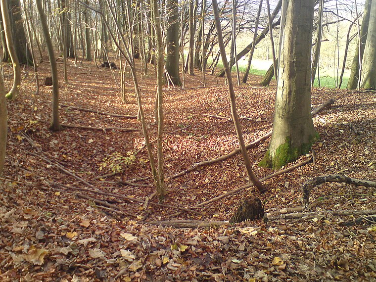
Lonauer Wasserfall
Waterfall

Photo: B.Thomas95, CC BY-SA 4.0.
Lonauer Wasserfall is a waterfall, which is situated 520 metres north of Lebenshilfe Herzberg.
St. Josef (Herzberg am Harz)
Church

Photo: Kirchenfan, CC0.
St. Josef (Herzberg am Harz) is a church, which is situated 1 km southwest of Lebenshilfe Herzberg.
Herzberg station
Railway station

Photo: ChristianSchd, CC BY-SA 4.0.
Herzberg station is a railway station in the municipality of Herzberg am Harz, located in the Göttingen district in Lower Saxony, Germany. Herzberg station is situated 2 km southwest of Lebenshilfe Herzberg.
Places in the Area
Nearby places include Bärenwinkel and Hägerfeld.

Lonau
Village

Photo: Kassandro, CC BY-SA 3.0.
Lonau is a small village with a population of about 345 situated at an elevation of about 400m in the Harz Mountains of Northern Germany. Besides the clean air and lush forests, it is famous for the capercaillie. Lonau is situated 3½ km north of Lebenshilfe Herzberg.
Lebenshilfe Herzberg
- Type: Social service facility
- Address: Hindenburgstraße 27a, Herzberg am Harz, 37412
- Category: building
- Location: Herzberg am Harz, Göttingen, Southern Lower Saxony, Lower Saxony, Germany, Central Europe, Europe
- View on OpenStreetMap
Latitude
51.65822° or 51° 39′ 30″ northLongitude
10.34666° or 10° 20′ 48″ eastOperator
LebenshilfeOpen location code
9F3GM85W+7MOpenStreetMap ID
way 536860801OpenStreetMap feature
amenity=social_facilityOpenStreetMap feature
building=yes
This page is based on OpenStreetMap, Wikidata, and Wikimedia Commons.
We’d love your help improving our open data sources. Thank you for contributing.
Satellite Map
Discover Lebenshilfe Herzberg from above in high-definition satellite imagery.
Notable Places Nearby
Highlights include Spritzenhaus;Stadtbücherei Herzberg and Polizeistation Herzberg.
Nearby Places
Explore places such as Wirtshaus Harzklause and Urige Gastwirtschaft Harzklause.
Southern Lower Saxony: Must-Visit Destinations
Delve into Göttingen, Goslar, Hamelin, and Hann. Münden.
Curious Social Service Facilities to Discover
Uncover intriguing social service facilities from every corner of the globe.
About Mapcarta. Data © OpenStreetMap contributors and available under the Open Database License". Text is available under the CC BY-SA 4.0 license, except for photos, directions, and the map. Photo: Wikimedia, CC BY-SA 3.0.