Pausenplatz
Pausenplatz is a park in Davos, Graubünden. Pausenplatz is situated nearby to the sports venue Turnhalle Bünda, as well as near the community center Jugendtreff Davos.| Tap on a place to explore it |
Places of Interest Nearby
Highlights include Davos Dorf Railway Station and St. Theodul.
Davos Dorf Railway Station
Railway station

Photo: Havang(nl), CC0.
Davos Dorf railway station is a railway station in the municipality of Davos, in the Swiss canton of Grisons. It is an intermediate stop on the 1,000 mm metre gauge Landquart–Davos Platz line of the Rhaetian Railway. Davos Dorf Railway Station is situated 310 metres north of Pausenplatz.
St. Theodul
Church

Photo: Jensens, Public domain.
St. Theodul is a church, which is situated 250 metres northwest of Pausenplatz.
Herz-Jesu-Kirche
Church
 Herz-Jesu-Kirche is a church, which is situated 480 metres southwest of Pausenplatz.
Places in the Area
Nearby places include Davos Platz and Davos Frauenkirch.
Davos Platz
Suburb

Photo: MadGeographer, CC BY-SA 3.0.
Davos is an Alpine resort town and municipality in the Prättigau/Davos Region in the canton of the Grisons, Switzerland. It has a permanent population of 10,832.
Davos Frauenkirch
Hamlet
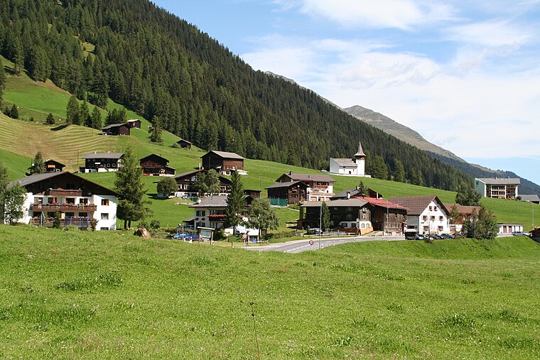
Photo: Parpan05, CC BY-SA 3.0.
Davos Frauenkirch is a hamlet, which is situated 5 km southwest of Pausenplatz.
Medergen
Hamlet

Photo: Andres Passwirth, CC BY-SA 3.0.
Medergen is a hamlet, which is situated 8 km west of Pausenplatz.
Pausenplatz
- Type: Park
- Category: recreation area
- Location: Davos, Region Prättigau / Davos, Graubünden, Switzerland, Central Europe, Europe
- View on OpenStreetMap
Latitude
46.80692° or 46° 48′ 25″ northLongitude
9.84108° or 9° 50′ 28″ eastOpen location code
8FRFRR4R+QCOpenStreetMap ID
way 538810150OpenStreetMap feature
leisure=park
This page is based on OpenStreetMap, Wikidata, and Wikimedia Commons.
We’d love your help improving our open data sources. Thank you for contributing.
Satellite Map
Discover Pausenplatz from above in high-definition satellite imagery.
Places with the Same Name
Discover other places named “Pausenplatz”.
Notable Places Nearby
Highlights include Turnhalle Bünda and Jugendtreff Davos.
Nearby Places
Explore places such as Schulzentrum Davos Dorf and Kindergarten Bünda.
Graubünden: Must-Visit Destinations
Delve into Chur, St. Moritz, Arosa, and Klosters.
Curious Parks to Discover
Uncover intriguing parks from every corner of the globe.
About Mapcarta. Data © OpenStreetMap contributors and available under the Open Database License". Text is available under the CC BY-SA 4.0 license, except for photos, directions, and the map. Photo: Flyout, CC BY-SA 3.0.