Broagervigvej shelter
Broagervigvej shelter is a shelter in Sønderborg Municipality, Region of Southern Denmark. Broagervigvej shelter is situated nearby to the sports venue Broagerlands Rideklub, as well as near the fire station Broager Frivillige brandværn.| Tap on a place to explore it |
Places of Interest Nearby
Highlights include Broager Church and Broager Skole.
Broager Church
Church

Photo: Soenke Rahn, CC BY-SA 4.0.
Broager Church is a church in the locality of Broager, Denmark. Broager Church is situated 1¼ km northeast of Broagervigvej shelter.
Broager Skole
School
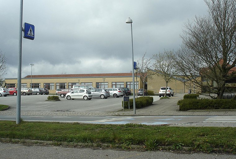
Photo: Beethoven9, CC BY-SA 4.0.
Broager Skole is a school, which is situated 1 km northeast of Broagervigvej shelter.
Skodsbøl Lighthouse
Lighthouse

Photo: Soenke Rahn, CC BY-SA 4.0.
Skodsbøl Lighthouse is situated 1½ km northwest of Broagervigvej shelter.
Places in the Area
Nearby places include Broager and Brunsnæs.
Broager
Village

Photo: Hubertus, CC BY-SA 3.0.
Broager is a town with a population of 3,227 in Sønderborg Municipality in Region of Southern Denmark, Denmark. It lies on the Broager Peninsula and is therefore surrounded by water on three sides, the waters of Flensborg Fjord leading into the Baltic Sea.

Dynt
Hamlet

Photo: Beethoven9, CC BY-SA 4.0.
Dynt is a hamlet, which is situated 3 km east of Broagervigvej shelter.
Broagervigvej shelter
Latitude
54.88324° or 54° 52′ 60″ northLongitude
9.66093° or 9° 39′ 39″ eastOpen location code
9F6FVMM6+79OpenStreetMap ID
way 541137314OpenStreetMap feature
amenity=shelter
This page is based on OpenStreetMap, Wikidata, and Wikimedia Commons.
We’d love your help improving our open data sources. Thank you for contributing.
Satellite Map
Discover Broagervigvej shelter from above in high-definition satellite imagery.
Notable Places Nearby
Highlights include Broagerlands Rideklub and Broager Frivillige brandværn.
Nearby Places
Explore places such as Gendarmstien and Mariegaard SFO.
Denmark: Must-Visit Destinations
Delve into Copenhagen, Aarhus, Odense, and Aalborg.
Curious Shelters to Discover
Uncover intriguing shelters from every corner of the globe.
About Mapcarta. Data © OpenStreetMap contributors and available under the Open Database License". Text is available under the CC BY-SA 4.0 license, except for photos, directions, and the map. Photo: Wikimedia, CC BY-SA 3.0.