Schule Hard
Schule Hard is a school in Zurich, Canton of Zurich which is located on Hohlstrasse. Schule Hard is situated nearby to the theater building Zirkusquartier Zürich, as well as near the square Hardplatz.| Tap on a place to explore it |
Places of Interest Nearby
Highlights include Hardplatz and Letzigrund Stadium.

Letzigrund Stadium
Stadium

Photo: Seasider53, CC BY 4.0.
Letzigrund is a stadium in Zurich, Switzerland, the home of the football clubs FC Zürich and Grasshopper Club Zürich, as well as the athletics club LC Zürich. Letzigrund Stadium is situated 1 km west of Schule Hard.
Zurich Hardbrücke railway station
Railway station
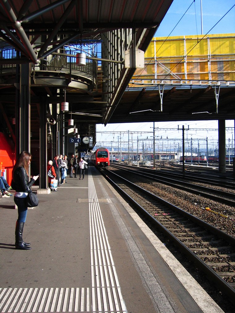 Zurich Hardbrücke railway station is a railway station in the central part of the Swiss city of Zürich. It is situated below Hardbrücke, a road bridge that lends its name to the station. Zurich Hardbrücke railway station is situated 300 metres north of Schule Hard.
Places in the Area
Nearby places include Aussersihl and Industriequartier.
Aussersihl
Suburb

Photo: Roland zh, CC BY-SA 3.0.
Aussersihl is a district in the Swiss city of Zürich. Known officially as District number 4, the district is known as colloquially Chreis Cheib, cheib being the Zürich German word for an animal cadaver.
Sihlfeld
Quarter
Sihlfeld is a quarter in the district 3 of Zürich. It was formerly a part of Wiedikon municipality, which was incorporated into Zürich in 1893. The quarter has a population of 20,554 distributed on an area of 1.64 km2.
Schule Hard
- Type: School
- Address: Hohlstrasse 236, Zürich, 8004
- Category: education
- Location: Zurich, Zürich District, Canton of Zurich, Zurich, Switzerland, Central Europe, Europe
- View on OpenStreetMap
Latitude
47.38254° or 47° 22′ 57″ northLongitude
8.51635° or 8° 30′ 59″ eastOperator
Stadt Zürich, SSD, Schulkreis LimmattalOpen location code
8FVC9GM8+2GOpenStreetMap ID
way 542202434OpenStreetMap feature
amenity=school
This page is based on OpenStreetMap, Wikidata, and Wikimedia Commons.
We’d love your help improving our open data sources. Thank you for contributing.
Satellite Map
Discover Schule Hard from above in high-definition satellite imagery.
Notable Places Nearby
Highlights include Zirkusquartier Zürich and Art Dock Zuerich.
Nearby Places
Explore places such as Möller Kostümverleih and Beauty By Cris.
Zurich: Must-Visit Destinations
Delve into Winterthur, Aarau, Zug, and Zurich Airport.
Curious Schools to Discover
Uncover intriguing schools from every corner of the globe.
About Mapcarta. Data © OpenStreetMap contributors and available under the Open Database License". Text is available under the CC BY-SA 4.0 license, except for photos, directions, and the map. Photo: ויקיג’אנקי, CC BY-SA 4.0.