Freiwillige Feuerwehr Bothfeld
Freiwillige Feuerwehr Bothfeld is a fire station in Lützen, Burgenlandkreis, Saxony-Anhalt. Freiwillige Feuerwehr Bothfeld is situated nearby to the cemetery Friedhof Michlitz, as well as near the museum Friedrich-Nietzsche Gedenkstätte.| Tap on a place to explore it |
Places of Interest Nearby
Highlights include Reed pond near Großgöhren and Protestant Church (Starsiedel).
Reed pond near Großgöhren
Pond
 Reed pond near Großgöhren is situated 3½ km southwest of Freiwillige Feuerwehr Bothfeld.
Protestant Church (Starsiedel)
Church

Photo: Tnemtsoni, CC BY-SA 3.0.
Protestant Church (Starsiedel) is situated 4 km southeast of Freiwillige Feuerwehr Bothfeld.
Places in the Area
Nearby places include Sössen and Oebles-Schlechtewitz.
Sössen
Village

Photo: Jwaller, CC BY-SA 3.0.
Sössen is a village and a former municipality in the Burgenlandkreis district, in Saxony-Anhalt, Germany. Since 1 January 2011, it is part of the town Lützen. Sössen is situated 3½ km south of Freiwillige Feuerwehr Bothfeld.
Oebles-Schlechtewitz
Village
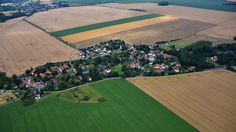
Photo: Wolkenkratzer, CC BY-SA 4.0.
Oebles-Schlechtewitz is a village, which is situated 3½ km west of Freiwillige Feuerwehr Bothfeld.
Starsiedel
Village

Photo: Jwaller, CC BY-SA 3.0.
Starsiedel is a village and a former municipality in the Burgenlandkreis district, in Saxony-Anhalt, Germany. Since 1 January 2010, it is part of the town Lützen. Starsiedel is situated 4 km southeast of Freiwillige Feuerwehr Bothfeld.
Freiwillige Feuerwehr Bothfeld
- Type: Fire station
- Category: building
- Location: Lützen, Burgenlandkreis, Saxony-Anhalt, Germany, Central Europe, Europe
- View on OpenStreetMap
Latitude
51.24674° or 51° 14′ 48″ northLongitude
12.10924° or 12° 6′ 33″ eastOpen location code
9F3J64W5+MMOpenStreetMap ID
way 543188479OpenStreetMap feature
amenity=fire_stationOpenStreetMap feature
building=yes
This page is based on OpenStreetMap, Wikidata, and Wikimedia Commons.
We’d love your help improving our open data sources. Thank you for contributing.
Satellite Map
Discover Freiwillige Feuerwehr Bothfeld from above in high-definition satellite imagery.
Notable Places Nearby
Highlights include Friedhof Michlitz and Friedrich-Nietzsche Gedenkstätte.
Nearby Places
Explore places such as Villa Hosenmatz and Windmühle Bothfeld.
Saxony-Anhalt: Must-Visit Destinations
Delve into Magdeburg, Halle, Wittenberg, and Quedlinburg.
Curious Fire Stations to Discover
Uncover intriguing fire stations from every corner of the globe.
About Mapcarta. Data © OpenStreetMap contributors and available under the Open Database License". Text is available under the CC BY-SA 4.0 license, except for photos, directions, and the map. Photo: Vaeth23, CC BY-SA 3.0.