Clover Pond
Clover Pond is a pond in Providence County, Rhode Island. Clover Pond is situated nearby to Slater Park, as well as near Daggett House.| Tap on a place to explore it |
Places of Interest Nearby
Highlights include Slater Park and Pawtucket Looff Carousel.
Slater Park
Park

Photo: Wikimedia, Public domain.
Slater Park is the oldest and largest public park in Pawtucket, Rhode Island. The park is named after Samuel Slater, a famous American industrialist who constructed America's first water-powered textile mill in Pawtucket.
Pawtucket Looff Carousel
Carousel
The Looff Carousel in Pawtucket, Rhode Island is a historic carousel which was built in 1895 by Charles I. D. Looff. The carousel was originally located in a carnival called Lee Funland in upstate, New York. Pawtucket Looff Carousel is situated 1,300 feet northeast of Clover Pond.
Daggett House
House
Photo: Wikimedia, Public domain.
The Daggett House is an historic house in Slater Park in Pawtucket, Rhode Island. The house is the oldest standing house in Pawtucket and one of the oldest surviving buildings in the state. Daggett House is situated 1,200 feet northeast of Clover Pond.
Places in the Area
Nearby places include North Seekonk and Rumford.
North Seekonk
Village
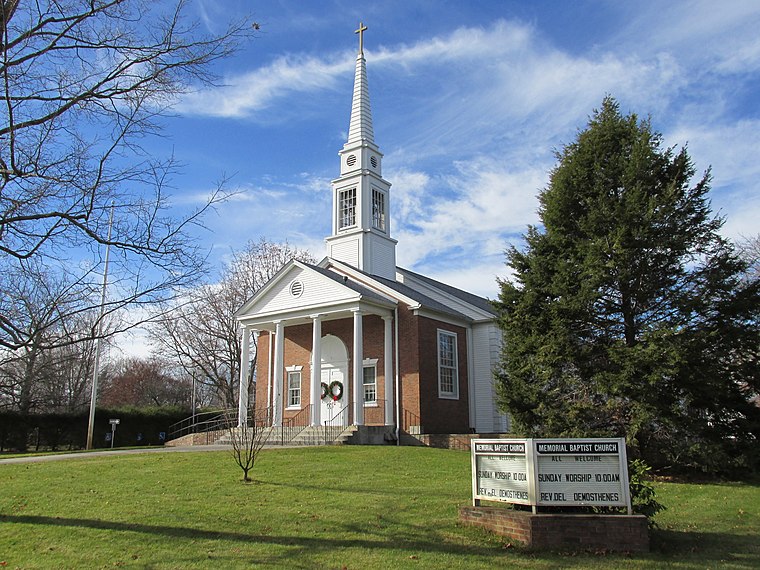
Photo: Faolin42, CC BY-SA 3.0.
North Seekonk is a census-designated place in the town of Seekonk in Bristol County, Massachusetts, United States. The population was 2,643 at the 2010 census. North Seekonk is situated 1½ miles northeast of Clover Pond.
Rumford
Village
Technically Rumford is a neighborhood or village, as it is currently the northern section of the city of East Providence, Rhode Island, United States. The Rumford section of East Providence borders Seekonk, Massachusetts to the east, Pawtucket, Rhode Island to the north, and the Ten Mile River to the south. Rumford is situated 1½ miles south of Clover Pond.
Pawtucket

Photo: Marcbela, Public domain.
Pawtucket is a Rhode Island city of 75,604 founded in 1671. It is a diverse city home to many cultures resulting in a spectrum of sights, sounds, and flavors.
Clover Pond
- Type: Pond (intermittent)
- Category: body of water
- Location: Providence County, Rhode Island, New England, United States, North America
- View on OpenStreetMap
Latitude
41.87012° or 41° 52′ 12″ northLongitude
-71.34773° or 71° 20′ 52″ westOpen location code
87HCVMC2+2WOpenStreetMap ID
way 544189819OpenStreetMap feature
natural=waterOpenStreetMap feature
water=pondOpenStreetMap attribute
intermittent=yes
This page is based on OpenStreetMap, Wikidata, and Wikimedia Commons.
We’d love your help improving our open data sources. Thank you for contributing.
Satellite Map
Discover Clover Pond from above in high-definition satellite imagery.
Places with the Same Name
Discover other places named “Clover Pond”.
Notable Places Nearby
Highlights include Slater Park Disc Trail and Slater Park Fishing Pond.
Nearby Places
Explore places such as Newport before Edendale and Newport before Columbus.
Providence County: Must-Visit Destinations
Delve into Providence, Pawtucket, Cranston, and Woonsocket.
Curious Ponds to Discover
Uncover intriguing ponds from every corner of the globe.
About Mapcarta. Data © OpenStreetMap contributors and available under the Open Database License". Text is available under the CC BY-SA 4.0 license, except for photos, directions, and the map. Photo: Wikimedia, CC0.