Strandcampingplatz Dangast
Strandcampingplatz Dangast is a campsite in Varel, Friesland, Lower Saxony which is located on Auf der Gast. Strandcampingplatz Dangast is situated nearby to the pitch Beachvolleyball-Feld, as well as near the playground Spielplatz vorm Deich.| Tap on a place to explore it |
- Type: Campsite
- Address: Auf der Gast 40, Varel, 26316
- Wheelchair access: yes
Places of Interest Nearby
Highlights include Schöpfwerk Petershörn.
Schöpfwerk Petershörn
Pumping station

Photo: Martina Nolte, CC BY-SA 3.0 de.
Schöpfwerk Petershörn is a pumping station, which is situated 3 km southwest of Strandcampingplatz Dangast.
Places in the Area
Nearby places include Dangast and Moorhausen.

Moorhausen
Neighborhood
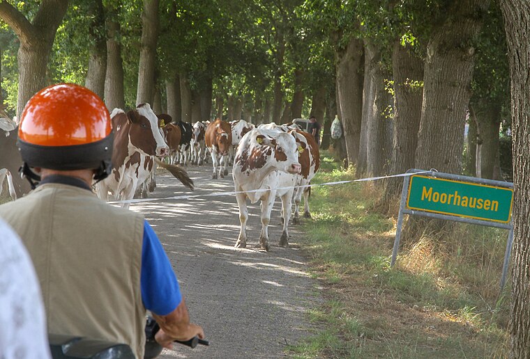
Photo: Berliner Kartenspieler, CC BY-SA 4.0.
Moorhausen is a neighborhood, which is situated 3 km south of Strandcampingplatz Dangast.
Mariensiel
Village

Photo: Martina Nolte, CC BY-SA 3.0 de.
Mariensiel is a village, which is situated 9 km northwest of Strandcampingplatz Dangast.
Strandcampingplatz Dangast
- Categories: tourism and camping
- Location: Varel, Friesland, East Frisia, Lower Saxony, Germany, Central Europe, Europe
- View on OpenStreetMap
Latitude
53.45061° or 53° 27′ 2″ northLongitude
8.1299° or 8° 7′ 48″ eastOperator
Stadt VarelOpen location code
9F5CF42H+6XOpenStreetMap ID
way 54616494OpenStreetMap feature
tourism=camp_siteOpenStreetMap attribute
wheelchair=yes
This page is based on OpenStreetMap, Wikidata, and Wikimedia Commons.
We’d love your help improving our open data sources. Thank you for contributing.
Satellite Map
Discover Strandcampingplatz Dangast from above in high-definition satellite imagery.
Notable Places Nearby
Highlights include Beachvolleyball-Feld and Spielplatz vorm Deich.
Nearby Places
Explore places such as Strand Perle and Rezeption Strandcampingplatz.
East Frisia: Must-Visit Destinations
Delve into Emden, Wilhelmshaven, Borkum, and Aurich.
Curious Campsites to Discover
Uncover intriguing campsites from every corner of the globe.
About Mapcarta. Data © OpenStreetMap contributors and available under the Open Database License". Text is available under the CC BY-SA 4.0 license, except for photos, directions, and the map. Photo: Dickelbers, CC BY-SA 3.0.