Pestalozzi-Hütte
Pestalozzi-Hütte is a building in Mettauertal, Laufenburg District, Canton of Aargau. Pestalozzi-Hütte is situated nearby to the village Etzgen, as well as near Mettau.| Tap on a place to explore it |
Places of Interest Nearby
Highlights include Burg Hauenstein and Albbruck station.
Burg Hauenstein
Scenic viewpoint

Photo: Schaema3, Public domain.
Burg Hauenstein is a scenic viewpoint, which is situated 1¼ km northwest of Pestalozzi-Hütte.
Albbruck station
Railway station
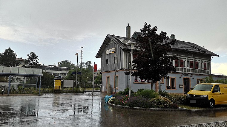 Albbruck station is a railway station in the town of Albbruck, Baden-Württemberg, Germany. The station lies on the High Rhine Railway. The train services are operated by Deutsche Bahn. Albbruck station is situated 2 km north of Pestalozzi-Hütte.
Rheinbrücke Albbruck–Schwaderloch
Bridge

Photo: Figugegl, CC BY-SA 4.0.
Rheinbrücke Albbruck–Schwaderloch is a bridge, which is situated 2 km northeast of Pestalozzi-Hütte.
Places in the Area
Nearby places include Etzgen and Mettau.
Etzgen
Village
Etzgen was a municipality in the district of Laufenburg in the canton of Aargau in Switzerland. On 1 January 2010, the municipalities of Hottwil, Etzgen, Mettau, Oberhofen AG and Wil AG merged into the municipality of Mettauertal.
Mettau
Village
Mettau was a municipality in the district of Laufenburg in the canton of Aargau in Switzerland. On 1 January 2010 the municipalities of Hottwil, Etzgen, Mettau, Oberhofen and Wil merged into the municipality of Mettauertal.
Schwaderloch
Village
Photo: Rauenstein, CC BY-SA 3.0.
Schwaderloch is a municipality in the district of Laufenburg in the canton of Aargau in Switzerland.
Pestalozzi-Hütte
- Type: Building
- Location: Mettauertal, Laufenburg District, Canton of Aargau, Switzerland, Central Europe, Europe
- View on OpenStreetMap
Latitude
47.57544° or 47° 34′ 32″ northLongitude
8.12211° or 8° 7′ 20″ eastOpen location code
8FVCH4GC+5ROpenStreetMap ID
way 54632991OpenStreetMap feature
building=yes
This page is based on OpenStreetMap, Wikidata, and Wikimedia Commons.
We’d love your help improving our open data sources. Thank you for contributing.
Satellite Map
Discover Pestalozzi-Hütte from above in high-definition satellite imagery.
Notable Places Nearby
Highlights include Magazin Etzgen and Dreispitz.
Nearby Places
Explore places such as Pestalozzi-Hütte and Etzgen Dorf.
Switzerland: Must-Visit Destinations
Delve into Zurich, Berne, Geneva, and Basel.
Curious Buildings to Discover
Uncover intriguing buildings from every corner of the globe.
About Mapcarta. Data © OpenStreetMap contributors and available under the Open Database License". Text is available under the CC BY-SA 4.0 license, except for photos, directions, and the map. Photo: Simonizer, CC BY-SA 2.0 de.