WEZ - Westfalen Einkaufszentrum
WEZ - Westfalen Einkaufszentrum is a commercial area in Dortmund, Arnsberg, North Rhine-Westphalia. WEZ - Westfalen Einkaufszentrum is situated nearby to the health club FitX, as well as near the suburb Dortmund Innenstadt-Nord.| Tap on a place to explore it |
Places of Interest Nearby
Highlights include Brauereimuseum Dortmund and Langer August.
Brauereimuseum Dortmund
Museum

Photo: Wikimedia, CC BY-SA 3.0.
Brauereimuseum Dortmund is situated 240 metres west of WEZ - Westfalen Einkaufszentrum.
Langer August
Community center

Photo: -ani-, CC BY-SA 2.0 de.
Langer August is a community center, which is situated 480 metres southwest of WEZ - Westfalen Einkaufszentrum.
Dortmunder Actien Brauerei

Photo: Wikimedia, CC BY-SA 3.0 de.
Dortmunder Actien Brauerei is a German brewery in the city of Dortmund, founded in 1868 by the businessmen Laurenz Fischer and Heinrich and Friedrich Mauritz together with master brewer Heinrich Herberz. Originally, it was called Herberz & Co Brewery. Dortmunder Actien Brauerei is situated 220 metres west of WEZ - Westfalen Einkaufszentrum.
Places in the Area
Nearby places include Dortmund Innenstadt-Nord and Eving.
Dortmund Innenstadt-Nord
Suburb

Photo: DerMische, CC BY-SA 4.0.
Dortmund Innenstadt-Nord is a suburb.
Eving
Suburb
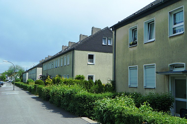
Photo: Hafenjunge, CC BY-SA 3.0 de.
Eving is a Stadtteil in the eponymous Stadtbezirk in the north of the city of Dortmund, Germany. It was incorporated into Dortmund in 1914. With a population of about 20,000 Eving is one of the most populated parts of Dortmund.
Unionviertel
Neighborhood

Photo: DortmunderWestfront, CC BY-SA 3.0.
Unionviertel is a neighborhood, which is situated 2½ km southwest of WEZ - Westfalen Einkaufszentrum.
WEZ - Westfalen Einkaufszentrum
- Type: Commercial area
- Location: Dortmund, Arnsberg, Ruhr, North Rhine-Westphalia, Germany, Central Europe, Europe
- View on OpenStreetMap
Latitude
51.52992° or 51° 31′ 48″ northLongitude
7.47082° or 7° 28′ 15″ eastOperator
KGALOpen location code
9F39GFHC+X8OpenStreetMap ID
way 547938194OpenStreetMap feature
landuse=retail
This page is based on OpenStreetMap, Wikidata, and Wikimedia Commons.
We’d love your help improving our open data sources. Thank you for contributing.
Satellite Map
Discover WEZ - Westfalen Einkaufszentrum from above in high-definition satellite imagery.
Notable Places Nearby
Highlights include FitX and Kurdistan Zentrum.
Nearby Places
Explore places such as Apollo-Optik and Nur.
Ruhr: Must-Visit Destinations
Delve into Essen, Duisburg, Bochum, and Gelsenkirchen.
Curious Commercial Areas to Discover
Uncover intriguing commercial areas from every corner of the globe.
About Mapcarta. Data © OpenStreetMap contributors and available under the Open Database License". Text is available under the CC BY-SA 4.0 license, except for photos, directions, and the map. Photo: DortmunderWestfront, CC BY-SA 3.0.