Sonnenhaus der WBG Aufbau eG
Sonnenhaus der WBG Aufbau eG is an apartment building in Strausberg, Märkisch-Oderland, Brandenburg. Sonnenhaus der WBG Aufbau eG is situated nearby to the church Dietrich-Bonhoeffer-Kapelle, as well as near the tram stop Landhausstraße.| Tap on a place to explore it |
Places of Interest Nearby
Highlights include Landhausstraße and Strausberg station.
Landhausstraße
Tram stop

Photo: Molgreen, CC BY-SA 4.0.
Landhausstraße is a tram stop, which is situated 160 metres southeast of Sonnenhaus der WBG Aufbau eG.
Strausberg station
Railway station
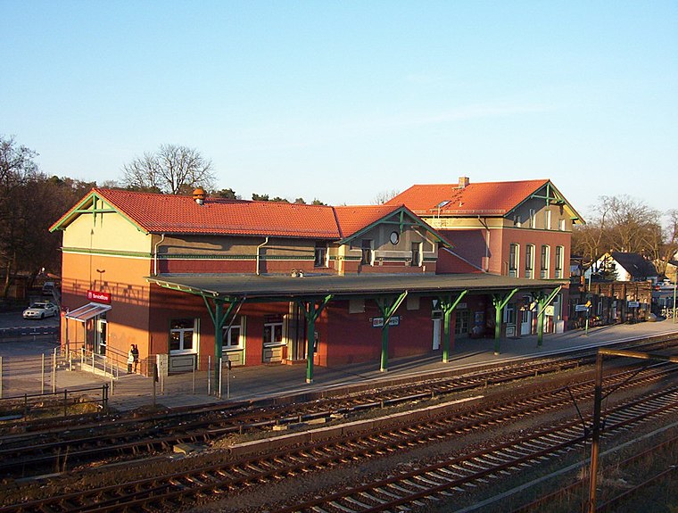
Photo: Xbambi, CC BY-SA 2.0 de.
Strausberg is the main railway station for the city of Strausberg in Brandenburg. It is served by the S-Bahn line S5. Strausberg station is situated 1 km southwest of Sonnenhaus der WBG Aufbau eG.
Märchenwald
Tram stop

Photo: Molgreen, CC BY-SA 4.0.
Märchenwald is a tram stop, which is situated 400 metres northeast of Sonnenhaus der WBG Aufbau eG.
Places in the Area
Nearby places include Eggersdorf and Postbruch.

Postbruch
Village

Photo: Assenmacher, CC BY-SA 4.0.
Postbruch is a village, which is situated 2½ km north of Sonnenhaus der WBG Aufbau eG.
Hennickendorf
Village
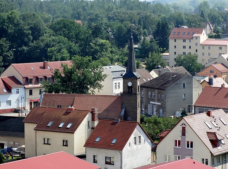
Photo: Assenmacher, CC BY-SA 4.0.
Hennickendorf is a village, which is situated 3½ km south of Sonnenhaus der WBG Aufbau eG.
Sonnenhaus der WBG Aufbau eG
- Type: Apartment building
- Roof shape: flat
- Categories: building and residential building
- Location: Strausberg, Märkisch-Oderland, Brandenburg, Germany, Central Europe, Europe
- View on OpenStreetMap
Latitude
52.53835° or 52° 32′ 18″ northLongitude
13.8431° or 13° 50′ 35″ eastLevels
4Open location code
9F4MGRQV+86OpenStreetMap ID
way 548006263OpenStreetMap feature
building=apartmentsOpenStreetMap attribute
roof-shape=flat
This page is based on OpenStreetMap, Wikidata, and Wikimedia Commons.
We’d love your help improving our open data sources. Thank you for contributing.
Satellite Map
Discover Sonnenhaus der WBG Aufbau eG from above in high-definition satellite imagery.
Notable Places Nearby
Highlights include Dietrich-Bonhoeffer-Kapelle and Haus 35 - Servicebüro.
Nearby Places
Explore places such as Wohnungsbaugenossenschaft ‘Aufbau’ Strausberg eG and Radsport.
Brandenburg: Must-Visit Destinations
Delve into Potsdam, Cottbus, Frankfurt an der Oder, and Brandenburg an der Havel.
Curious Apartment Buildings to Discover
Uncover intriguing apartment buildings from every corner of the globe.
About Mapcarta. Data © OpenStreetMap contributors and available under the Open Database License". Text is available under the CC BY-SA 4.0 license, except for photos, directions, and the map. Photo: Leviathan1983, CC BY-SA 3.0.