Georgia Eye Institute
Georgia Eye Institute is a building in Toombs, Georgia. Georgia Eye Institute is situated nearby to Sacred Heart Catholic Church, as well as near Wilkes Cemetery.| Tap on a place to explore it |
Places of Interest Nearby
Highlights include Vidalia Regional Airport.
Vidalia Regional Airport
Aerodrome

Photo: Wikimedia, Public domain.
Vidalia Regional Airport is a city-owned public-use airport located three nautical miles southeast of the central business district of the city Vidalia, in Toombs County, Georgia, United States.
Places in the Area
Nearby places include Lyons and Santa Claus.
Lyons
Town
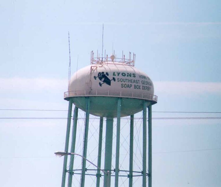
Photo: Geogre, Public domain.
Lyons is a city in Toombs County, Georgia, United States. The population was 4,239 in 2020. The city is the county seat of Toombs County. Lyons is situated 2½ miles east of Georgia Eye Institute.
Santa Claus
Hamlet
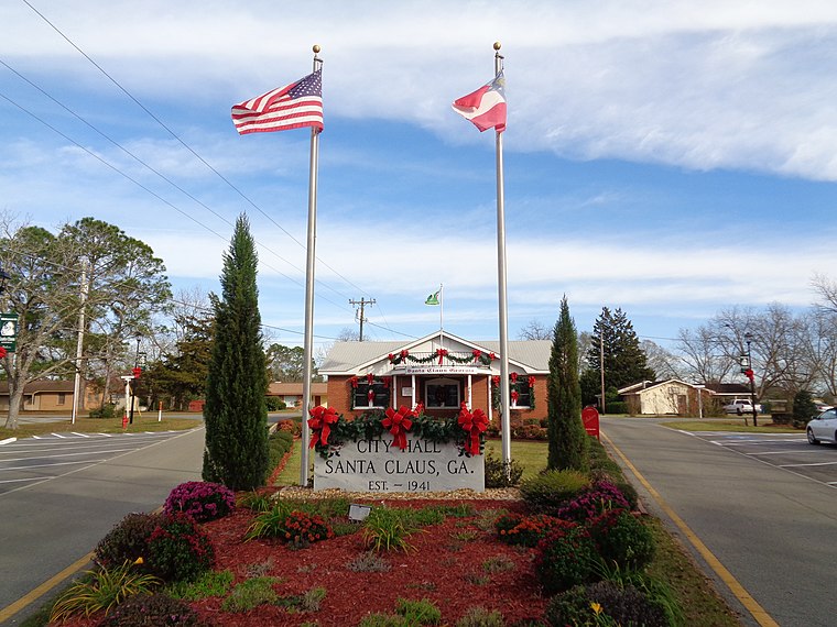
Photo: Mjrmtg, CC BY-SA 4.0.
Santa Claus is a city in Toombs County, Georgia, United States. The population was 204 at the 2020 census. It is part of the Vidalia micropolitan area. Santa Claus is situated 3 miles southeast of Georgia Eye Institute.
Vidalia

Photo: Geogre, Public domain.
Vidalia is in the Plantation Midlands region and could make for a decent detour on a trip between Atlanta and Savannah. This middle-sized country town is known as "the sweet onion city" and has a sweet cultivar of onion that has even become proprietary as the Vidalia onion.
Georgia Eye Institute
- Type: Commercial building
- Categories: building and office
- Location: Toombs, Georgia, South, United States, North America
- View on OpenStreetMap
Latitude
32.20583° or 32° 12′ 21″ northLongitude
-82.36031° or 82° 21′ 37″ westOpen location code
864V6J4Q+8VOpenStreetMap ID
way 554105088OpenStreetMap feature
building=commercial
This page is based on OpenStreetMap, Wikidata, and Wikimedia Commons.
We’d love your help improving our open data sources. Thank you for contributing.
Satellite Map
Discover Georgia Eye Institute from above in high-definition satellite imagery.
Notable Places Nearby
Highlights include Sacred Heart Catholic Church and Wilkes Cemetery.
Nearby Places
Explore places such as Popeyes and Murphy USA.
Georgia: Must-Visit Destinations
Delve into Atlanta, Savannah, Augusta, and Hartsfield–Jackson Atlanta International Airport.
Curious Places to Discover
Uncover intriguing places from every corner of the globe.
About Mapcarta. Data © OpenStreetMap contributors and available under the Open Database License". Text is available under the CC BY-SA 4.0 license, except for photos, directions, and the map. Photo: Wikimedia, CC0.