McCabe Meadows
McCabe Meadows is a park in Douglas, Colorado which is located on Indian Pipe Lane. McCabe Meadows is situated nearby to United Methodist Church, as well as near the evergreen forest Town of Parker Open Space.| Tap on a place to explore it |
Places of Interest Nearby
Highlights include Legend High School.
Legend High School
School
Legend High School is a public high school in Parker, Colorado. It is part of the Douglas County School District RE-1. Legend High School is situated 2 miles southeast of McCabe Meadows.
Places in the Area
Nearby places include Parker and Stonegate.
Parker
Town
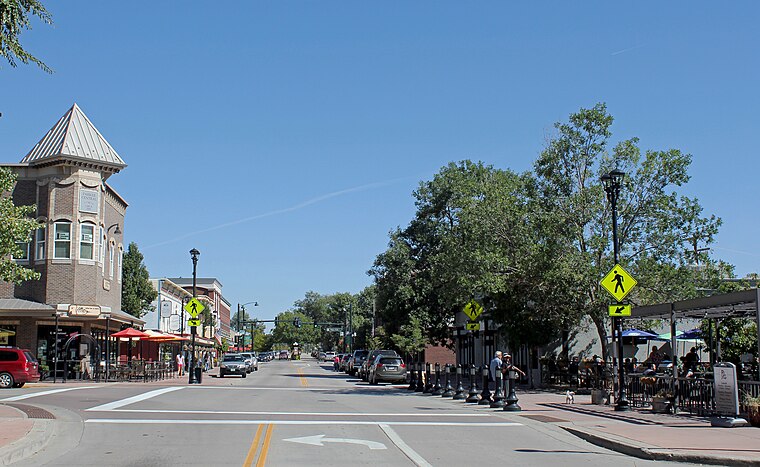
Photo: Denverjeffrey, CC BY 3.0.
Parker is a home rule municipality in Douglas County, Colorado, United States. As a self-declared "town" under the home rule statutes, Parker is the second most populous town in the county; Castle Rock is the most populous.
Stonegate
Locality
Stonegate is an unincorporated community and a census-designated place located in and governed by Douglas County, Colorado, United States. The CDP is a part of the Denver–Aurora–Lakewood, CO Metropolitan Statistical Area. Stonegate is situated 3½ miles northwest of McCabe Meadows.
The Pinery
Locality

Photo: Denverjeffrey, CC BY 4.0.
The Pinery is an unincorporated community and a census-designated place located in and governed by Douglas County, Colorado, United States. The CDP is a part of the Denver–Aurora–Lakewood, CO Metropolitan Statistical Area. The Pinery is situated 3½ miles south of McCabe Meadows.
McCabe Meadows
- Type: Park
- Address: 19700 Indian Pipe Lane, Parker, CO 80134
- Category: recreation area
- Location: Douglas, Colorado, Rocky Mountains, United States, North America
- View on OpenStreetMap
Latitude
39.50218° or 39° 30′ 8″ northLongitude
-104.76389° or 104° 45′ 50″ westOpen location code
85FQG62P+VCOpenStreetMap ID
way 564388814OpenStreetMap feature
leisure=park
This page is based on OpenStreetMap, Wikidata, and Wikimedia Commons.
We’d love your help improving our open data sources. Thank you for contributing.
Satellite Map
Discover McCabe Meadows from above in high-definition satellite imagery.
Notable Places Nearby
Highlights include United Methodist Church and Town of Parker Open Space.
Nearby Places
Explore places such as The Christmas Box Angel and Callan Rose Early Learning Center.
Colorado: Must-Visit Destinations
Delve into Denver, Colorado Springs, Boulder, and Aurora.
Curious Parks to Discover
Uncover intriguing parks from every corner of the globe.
About Mapcarta. Data © OpenStreetMap contributors and available under the Open Database License". Text is available under the CC BY-SA 4.0 license, except for photos, directions, and the map. Photo: mark gallagher, CC BY 2.0.