Pont rue des Scieries
Pont rue des Scieries is a bridge in Coudekerque-Branche, Arrondissement of Dunkirk, Hauts-de-France. Pont rue des Scieries is situated nearby to the playground Angry Birds Play Park, as well as near the sports venue Base d’Aviron.| Tap on a place to explore it |
Places of Interest Nearby
Highlights include Coudekerque-Branche and Dunkirk.
Coudekerque-Branche
Railway station

Photo: Floflo62, CC BY-SA 3.0.
Coudekerque-Branche is a railway station, which is situated 560 metres east of Pont rue des Scieries.
Dunkirk
Railway station

Photo: Pichasso, CC BY-SA 3.0.
Dunkirk station is a railway station serving the town Dunkirk, Nord department, northern France. This part of French Flanders is near West Flanders in Belgium. Dunkirk is situated 1¼ km north of Pont rue des Scieries.
Église Saint-Antoine-de-Padoue de Petite-Synthe
Church

Photo: Pichasso, CC BY-SA 3.0.
Église Saint-Antoine-de-Padoue de Petite-Synthe is a church, which is situated 1 km northwest of Pont rue des Scieries.
Places in the Area
Nearby places include Petite-Synthe and Dunkirk.
Petite-Synthe
Suburb
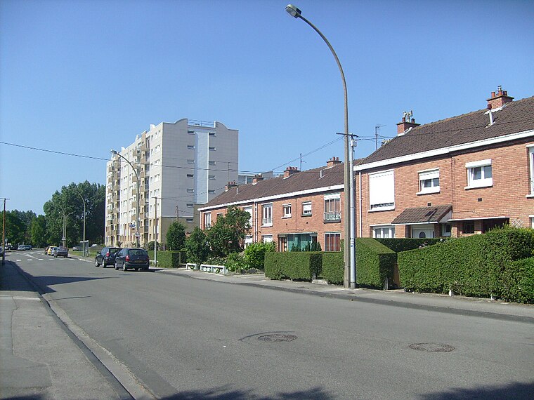
Photo: Pichasso, CC BY-SA 3.0.
Petite-Synthe is a former commune of the Nord département in northern France. The commune of Saint-Pol-sur-Mer was created in 1877, by its territory being detached from Petite-Synthe.
Dunkirk

Photo: Stefi123, CC BY-SA 3.0.
Dunkirk is a town in the region of Hauts-de-France in France. The town is a historic resort, 10 km from the border with Belgium. If you're coming from the UK, it's a great place to start your journey further into the Continent, but also a great holiday…
Saint-Pol-sur-Mer
Suburb

Photo: Raptor-kev, Public domain.
Saint-Pol-sur-Mer is a former commune in the Nord department in northern France. Since 9 December 2010, it is part of the commune of Dunkirk. In 2022 it had 20,346 inhabitants.
Pont rue des Scieries
- Type: Bridge
- Category: transportation
- Location: Coudekerque-Branche, Arrondissement of Dunkirk, North, Hauts-de-France, France, Europe
- View on OpenStreetMap
Latitude
51.01848° or 51° 1′ 7″ northLongitude
2.36727° or 2° 22′ 2″ eastOpen location code
9F342998+9WOpenStreetMap ID
way 566268314OpenStreetMap feature
man_made=bridge
This page is based on OpenStreetMap, Wikidata, and Wikimedia Commons.
We’d love your help improving our open data sources. Thank you for contributing.
Satellite Map
Discover Pont rue des Scieries from above in high-definition satellite imagery.
Notable Places Nearby
Highlights include Angry Birds Play Park and Base d’Aviron.
Nearby Places
Explore places such as Résidence le Metier a Tisser and La Bécassine.
Hauts-de-France: Must-Visit Destinations
Delve into Lille, Dunkirk, Calais, and Amiens.
Curious Bridges to Discover
Uncover intriguing bridges from every corner of the globe.
About Mapcarta. Data © OpenStreetMap contributors and available under the Open Database License". Text is available under the CC BY-SA 4.0 license, except for photos, directions, and the map. Photo: LimoWreck, CC BY-SA 3.0.