Kościół Ewangelicznych Chrześcijan „Betel
Kościół Ewangelicznych Chrześcijan „Betel is a church in Szczecin, Zachodniopomorskie. Kościół Ewangelicznych Chrześcijan „Betel is situated nearby to the church Kościół parafialny pw. Przemienienia Pańskiego, as well as near the post office Urząd Pocztowy Szczecin 26.| Tap on a place to explore it |
Places of Interest Nearby
Highlights include Central Cemetery and Our Lady of the Rosary church in Szczecin.
Central Cemetery
Park

Photo: Mateusz War., CC BY-SA 3.0.
The Central Cemetery in Szczecin is a municipal cemetery in Szczecin, Poland. With an area of over 167.8 hectares, and still expanding, it is officially the largest cemetery in Poland and the third largest cemetery in Europe. Central Cemetery is situated 2 km southeast of Kościół Ewangelicznych Chrześcijan „Betel.
Our Lady of the Rosary church in Szczecin
Church

Photo: Kapitel, Public domain.
Our Lady of the Rosary church in Szczecin is situated 1½ km south of Kościół Ewangelicznych Chrześcijan „Betel.
Our Lady of Sorrows church in Mierzyn
Church

Photo: Kapitel, CC BY-SA 3.0.
Our Lady of Sorrows church in Mierzyn is situated 2 km northwest of Kościół Ewangelicznych Chrześcijan „Betel.
Places in the Area
Nearby places include Gumieńce and Mierzyn.
Gumieńce
Suburb

Photo: Kapitel, Public domain.
Gumieńce is a municipal neighbourhood of Szczecin, Poland, located within the West district. It is a low-rise housing. Gumieńce has an area of 10.4 km2, and in 2022, was inhabited by 22,116 people, making it the second most populus neighbourhood in the city.
Mierzyn
Village
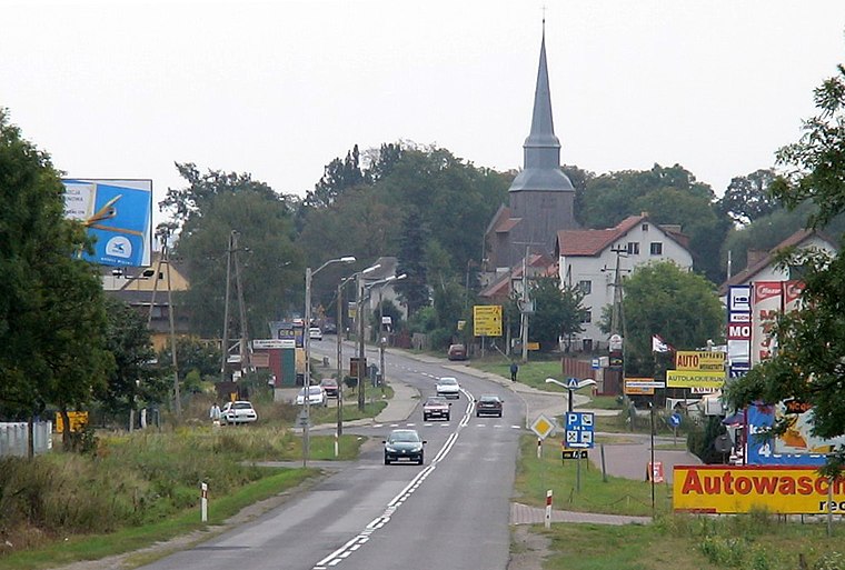
Photo: Marcin Otorowski, CC BY-SA 2.5.
Mierzyn is a suburb of Szczecin, which is one of the most populous villages in Poland. It is located in the municipality of Gmina Dobra, within Police County, West Pomeranian Voivodeship, in north-western Poland, close to the German border.
Ostoja
Village

Photo: Kapitel, Public domain.
Ostoja is a village in the administrative district of Gmina Kołbaskowo, within Police County, West Pomeranian Voivodeship, in north-western Poland, close to the German border.
Kościół Ewangelicznych Chrześcijan „Betel
- Type: Church
- Categories: building, place of worship, and religion
- Location: Szczecin, Zachodniopomorskie, Poland, Central Europe, Europe
- View on OpenStreetMap
Latitude
53.42285° or 53° 25′ 22″ northLongitude
14.48798° or 14° 29′ 17″ eastLevels
1Open location code
9F5PCFFQ+45OpenStreetMap ID
way 56710617OpenStreetMap feature
amenity=place_of_worshipOpenStreetMap feature
building=service
This page is based on OpenStreetMap, Wikidata, and Wikimedia Commons.
We’d love your help improving our open data sources. Thank you for contributing.
Satellite Map
Discover Kościół Ewangelicznych Chrześcijan „Betel from above in high-definition satellite imagery.
Notable Places Nearby
Highlights include Kościół parafialny pw. Przemienienia Pańskiego and Urząd Pocztowy Szczecin 26.
Nearby Places
Explore places such as Szkoła Podstawowa nr 8 imienia Młodych Europejczyków and Na Pętli.
Zachodniopomorskie: Must-Visit Destinations
Delve into Świnoujście, Koszalin, Kołobrzeg, and Police.
Curious Churches to Discover
Uncover intriguing churches from every corner of the globe.
About Mapcarta. Data © OpenStreetMap contributors and available under the Open Database License". Text is available under the CC BY-SA 4.0 license, except for photos, directions, and the map. Photo: Sicherlich, CC BY 3.0.