Étang de Saint-Ythier
Étang de Saint-Ythier is in Loiret, Centre-Val de Loire. Étang de Saint-Ythier is situated nearby to the basin Étang de la Chevalerie.| Tap on a place to explore it |
Places of Interest Nearby
Highlights include Église Saint-Vrain and Église Saint-Cyr des Choux.
Église Saint-Vrain
Church

Photo: Goupil, CC BY-SA 3.0.
Église Saint-Vrain is a church, which is situated 2½ km south of Étang de Saint-Ythier.
Église Saint-Cyr des Choux
Church

Photo: François GOGLINS, CC BY-SA 3.0.
Église Saint-Cyr des Choux is a church, which is situated 3 km west of Étang de Saint-Ythier.
Places in the Area
Nearby places include Montbouy.
Montbouy
Village
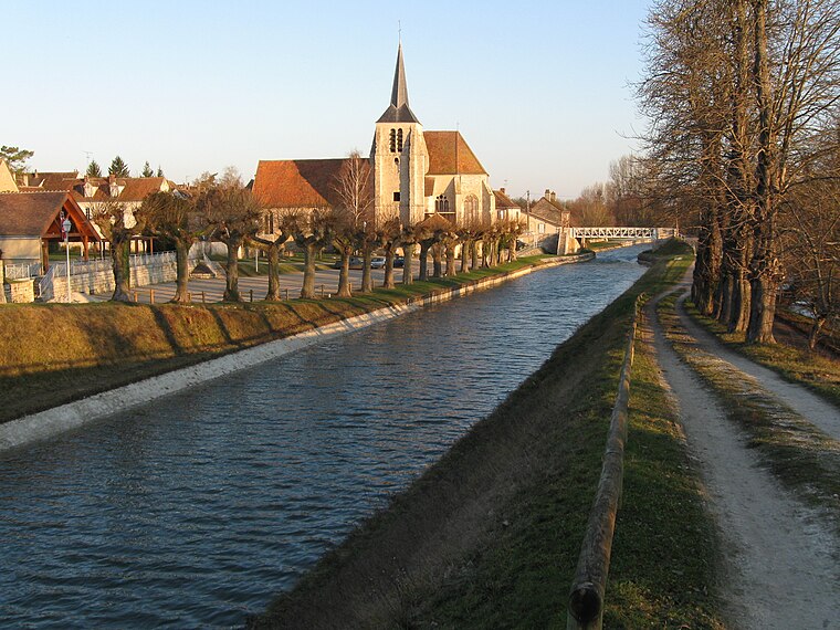
Photo: Alvaro, CC BY-SA 3.0.
Montbouy is a commune in the Loiret department in north-central France. Montbouy is situated 10 km northeast of Étang de Saint-Ythier.
Étang de Saint-Ythier
- Type: Body of water
- Location: Loiret, Centre-Val de Loire, France, Europe
- View on OpenStreetMap
Latitude
47.80738° or 47° 48′ 27″ northLongitude
2.71422° or 2° 42′ 51″ eastOpen location code
8FV4RP47+XMOpenStreetMap ID
way 567162783OpenStreetMap feature
natural=water
This page is based on OpenStreetMap, Wikidata, and Wikimedia Commons.
We’d love your help improving our open data sources. Thank you for contributing.
Satellite Map
Discover Étang de Saint-Ythier from above in high-definition satellite imagery.
Notable Places Nearby
Highlights include Étang de la Chevalerie and Mairie de Boismorand.
Nearby Places
Explore places such as Cours Janvier and Auberge des Templiers.
Centre-Val de Loire: Must-Visit Destinations
Delve into Orléans, Tours, Chartres, and Bourges.
Curious Places to Discover
Uncover intriguing places from every corner of the globe.
About Mapcarta. Data © OpenStreetMap contributors and available under the Open Database License". Text is available under the CC BY-SA 4.0 license, except for photos, directions, and the map. Photo: PMRMaeyaert, CC BY-SA 3.0.