Leyershof
Leyershof is an apartment building in Viersen, Düsseldorf, North Rhine-Westphalia. Leyershof is situated nearby to the church St. Helena, as well as near the fountain Helenenbrunnen.| Tap on a place to explore it |
Places of Interest Nearby
Highlights include St. Helena and Bökelbergstadion.

Bökelbergstadion
Memorial

Photo: Il Fantasma, CC BY-SA 3.0.
The Bökelbergstadion was a football stadium in Mönchengladbach, Germany. Bökelbergstadion is situated 2½ km southeast of Leyershof.
Mönchengladbach Hauptbahnhof
Railway station
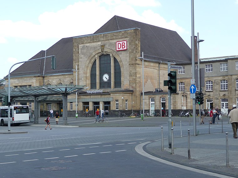
Photo: Thalan, CC BY-SA 3.0.
Mönchengladbach Hauptbahnhof is a railway station in the city of Mönchengladbach in western Germany. Mönchengladbach Hauptbahnhof is situated 4 km southeast of Leyershof.
Places in the Area
Nearby places include Lockhütte and Am Wasserturm.

Am Wasserturm
Neighborhood

Photo: Arcturus, CC BY-SA 3.0.
Am Wasserturm is a neighborhood, which is situated 3 km south of Leyershof.
Robend
Suburb

Photo: Þomas, CC BY-SA 3.0.
Robend is a suburb, which is situated 3 km north of Leyershof.
Leyershof
- Type: Apartment building
- Categories: building and residential building
- Location: Viersen, Düsseldorf, North Rhine-Westphalia, Germany, Central Europe, Europe
- View on OpenStreetMap
Latitude
51.22855° or 51° 13′ 43″ northLongitude
6.42045° or 6° 25′ 14″ eastInception
1736Open location code
9F386CHC+C5OpenStreetMap ID
way 570428214OpenStreetMap feature
building=apartments
This page is based on OpenStreetMap, Wikidata, and Wikimedia Commons.
We’d love your help improving our open data sources. Thank you for contributing.
Satellite Map
Discover Leyershof from above in high-definition satellite imagery.
Notable Places Nearby
Highlights include St. Helena and Helenenbrunnen.
Nearby Places
Explore places such as Gasthof Hülser and Hülserhof.
North Rhine-Westphalia: Must-Visit Destinations
Delve into Cologne, Düsseldorf, Bonn, and Dortmund.
Curious Apartment Buildings to Discover
Uncover intriguing apartment buildings from every corner of the globe.
About Mapcarta. Data © OpenStreetMap contributors and available under the Open Database License". Text is available under the CC BY-SA 4.0 license, except for photos, directions, and the map. Photo: Daniel Schwen, CC BY-SA 2.5.