The Residences at Carronade
The Residences at Carronade is a residential area in City of Perrysburg, Wood, Ohio which is located on Carronade Drive. The Residences at Carronade is situated nearby to Oakmead Park, as well as near the pitch Widdel Field.| Tap on a place to explore it |
Places of Interest Nearby
Highlights include Fort Miami.
Fort Miami

Photo: Nyttend, Public domain.
Fort Miami was a British fort built in spring 1794 on the Maumee River in what was at the time territory claimed by the United States, and designated by the federal government as the Northwest Territory. Fort Miami is situated 2½ miles northwest of The Residences at Carronade.
Places in the Area
Nearby places include Perrysburg and Maumee.
Perrysburg

Photo: Traveler100, CC BY-SA 4.0.
Perrysburg is a city in Wood County, Ohio, United States. The population was 25,041 at the 2020 census. The city is along the south side of the Maumee River about 12 miles southwest of Toledo and is part of the Toledo metropolitan area.
Maumee
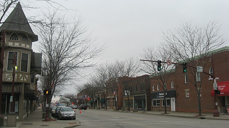
Photo: Nyttend, Public domain.
Maumee is a city in Lucas County, Ohio, United States. Located along the Maumee River, it is a suburb about 10 miles southwest of Toledo. The population was 13,896 at the 2020 census.
Dowling
Hamlet
Dowling is an unincorporated community in Wood County, Ohio, United States. The New Belleville Ridge Cemetery is located in Dowling. Dowling is situated 4½ miles south of The Residences at Carronade.
The Residences at Carronade
- Type: Residential area
- Address: 26795 Carronade Drive, Perrysburg, OH 43551
- Location: City of Perrysburg, Wood, Ohio, Midwest, United States, North America
- View on OpenStreetMap
Latitude
41.54227° or 41° 32′ 32″ northLongitude
-83.60288° or 83° 36′ 10″ westOpen location code
86HRG9RW+WROpenStreetMap ID
way 573181894OpenStreetMap feature
landuse=residential
This page is based on OpenStreetMap, Wikidata, and Wikimedia Commons.
We’d love your help improving our open data sources. Thank you for contributing.
Satellite Map
Discover The Residences at Carronade from above in high-definition satellite imagery.
Notable Places Nearby
Highlights include Oakmead Park and Widdel Field.
Nearby Places
Explore places such as Clubhouse and Perry Lake Village Apartments.
Ohio: Must-Visit Destinations
Delve into Columbus, Cincinnati, Cleveland, and Bowling Green.
Curious Residential Areas to Discover
Uncover intriguing residential areas from every corner of the globe.
About Mapcarta. Data © OpenStreetMap contributors and available under the Open Database License". Text is available under the CC BY-SA 4.0 license, except for photos, directions, and the map. Photo: Wikimedia, CC0.