ゴルフヤード春日井
ゴルフヤード春日井 is a sports venue in Kasugai, Aichi. ゴルフヤード春日井 is situated nearby to the shopping center iias Kasugai, as well as near Shinogi Elementary School.| Tap on a place to explore it |
Places of Interest Nearby
Highlights include Kasugai Station and Kasugai City Library.
Kasugai Station
Railway station

Photo: Mister0124, CC BY-SA 4.0.
Kasugai Station is a railway station in the city of Kasugai, Aichi Prefecture, Japan, operated by Central Japan Railway Company. It is also a freight depot for the Japan Freight Railway Company. Kasugai Station is situated 1½ km south of ゴルフヤード春日井.
Kasugai City Library
Library

Photo: Asturio Cantabrio, CC BY-SA 4.0.
Kasugai City Library is situated 1½ km southwest of ゴルフヤード春日井.
Ogita Shrine
Shinto shrine

Photo: Kyanagiy, CC BY-SA 4.0.
Ogita Shrine is a Shinto shrine, which is situated 1¼ km south of ゴルフヤード春日井.
Places in the Area
Nearby places include Moriyama-ku and Obata 1-chome.
Moriyama-ku
Suburb

Photo: Bariston, CC BY-SA 3.0.
Moriyama is one of the wards of the city of Nagoya in Aichi Prefecture, Japan. As of 1 October 2019, the ward has an estimated population of 176,298 and a population density of 5,184 inhabitants per square kilometre. The total area is 34.01 km2. Moriyama-ku is situated 6 km south of ゴルフヤード春日井.
Obata 1-chome
Neighborhood

Photo: Oka21000, CC BY-SA 4.0.
Obata 1-chome is a neighborhood, which is situated 6 km south of ゴルフヤード春日井.
Kusunoki 3-chome
Neighborhood
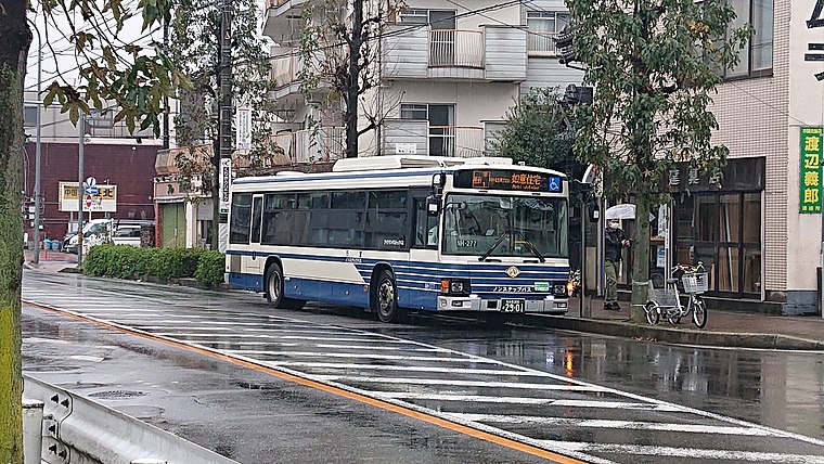
Photo: 円周率3パーセント, CC BY-SA 4.0.
Kusunoki 3-chome is a neighborhood, which is situated 7 km southwest of ゴルフヤード春日井.
ゴルフヤード春日井
- Type: Sports venue
- Categories: golf, building, recreation area, and sports location
- Location: Kasugai, Aichi, Chubu, Japan, East Asia, Asia
- View on OpenStreetMap
Latitude
35.25733° or 35° 15′ 26″ northLongitude
136.98467° or 136° 59′ 5″ eastOpen location code
8Q7R7X4M+WVOpenStreetMap ID
way 576603521OpenStreetMap feature
building=yesOpenStreetMap feature
leisure=sports_centreOpenStreetMap feature
sport=golf
This page is based on OpenStreetMap, Wikidata, and Wikimedia Commons.
We’d love your help improving our open data sources. Thank you for contributing.
Satellite Map
Discover ゴルフヤード春日井 from above in high-definition satellite imagery.
Notable Places Nearby
Highlights include iias Kasugai and Shinogi Elementary School.
Nearby Places
Explore places such as ヒマラヤスポーツ 春日井店 and イズモ葬祭.
Aichi: Must-Visit Destinations
Delve into Nagoya, Toyota, Toyohashi, and Okazaki.
Curious Sports Venues to Discover
Uncover intriguing sports venues from every corner of the globe.
About Mapcarta. Data © OpenStreetMap contributors and available under the Open Database License". Text is available under the CC BY-SA 4.0 license, except for photos, directions, and the map. Photo: Alpsdake, CC BY-SA 3.0.