Ruhrverband
Ruhrverband is a building in Dortmund, Arnsberg, North Rhine-Westphalia which is located on Brennaborstraße. Ruhrverband is situated nearby to the grassland ehem. Gelände Zeche Germania Luftschacht Kley, as well as near the playground MiniPlanet Wunderland.| Tap on a place to explore it |
Places of Interest Nearby
Highlights include Dortmund-Oespel station and Christus unser Friede.
Dortmund-Oespel station
Railway stop
 Dortmund-Oespel station is in the district of Oespel of the city of Dortmund in the German state of North Rhine-Westphalia. It was built on a loop line off the Witten/Dortmund–Oberhausen/Duisburg railway, which was opened on 24 September 1983 from Bochum-Langendreer to Dortmund-Dorstfeld. Dortmund-Oespel station is situated 550 metres south of Ruhrverband.
Christus unser Friede
Church
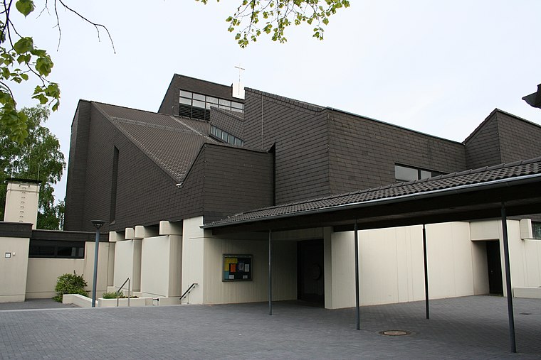
Photo: Stobs, CC BY-SA 3.0.
Christus unser Friede is a church, which is situated 700 metres south of Ruhrverband.
Hochschule für Polizei und öffentliche Verwaltung Nordrhein-Westfalen
College

Photo: Wikimedia, CC BY-SA 4.0.
Hochschule für Polizei und öffentliche Verwaltung Nordrhein-Westfalen is a college, which is situated 1½ km east of Ruhrverband.
Places in the Area
Nearby places include Düren and Witten-Stockum.
Düren
Hamlet

Photo: Morty, CC BY-SA 2.0 de.
Düren is a hamlet, which is situated 3 km southwest of Ruhrverband.
Witten-Stockum
Suburb

Photo: Wikimedia, CC BY-SA 3.0.
Witten-Stockum is a borough of the City of Witten in North Rhine-Westphalia, Germany. It has about 6300 inhabitants. Witten-Stockum is situated 3 km southwest of Ruhrverband.
Schönau
Quarter

Photo: Raenmaen, CC BY-SA 3.0.
Schönau is a quarter, which is situated 4 km east of Ruhrverband.
Ruhrverband
- Type: Voluntary association
- Address: Brennaborstraße 19, Dortmund, 44149
- Categories: building and office
- Location: Dortmund, Arnsberg, Ruhr, North Rhine-Westphalia, Germany, Central Europe, Europe
- View on OpenStreetMap
Latitude
51.4932° or 51° 29′ 36″ northLongitude
7.38148° or 7° 22′ 53″ eastOpen location code
9F39F9VJ+7HOpenStreetMap ID
way 57692244OpenStreetMap feature
building=yesOpenStreetMap feature
office=association
This page is based on OpenStreetMap, Wikidata, and Wikimedia Commons.
We’d love your help improving our open data sources. Thank you for contributing.
Satellite Map
Discover Ruhrverband from above in high-definition satellite imagery.
Places with the Same Name
Discover other places named “Ruhrverband”.
Notable Places Nearby
Highlights include ehem. Gelände Zeche Germania Luftschacht Kley and MiniPlanet Wunderland.
Nearby Places
Explore places such as Crown Gabelstapler and QSG Verkehrstechnik.
Ruhr: Must-Visit Destinations
Delve into Essen, Duisburg, Gelsenkirchen, and Bochum.
Curious Places to Discover
Uncover intriguing places from every corner of the globe.
About Mapcarta. Data © OpenStreetMap contributors and available under the Open Database License". Text is available under the CC BY-SA 4.0 license, except for photos, directions, and the map. Photo: DortmunderWestfront, CC BY-SA 3.0.