ADIC
ADIC is a building in Le Grand-Saconnex, Geneva. ADIC is situated nearby to the bridge Pont de Malakoff, as well as near Passerelle des Batailleux.| Tap on a place to explore it |
Places of Interest Nearby
Highlights include Geneva International Airport and Geneva Airport railway station.
Geneva International Airport
Aerodrome

Photo: Superpoor, CC BY-SA 4.0.
Geneva Airport – formerly and still unofficially known as Cointrin Airport – is an international airport of Geneva, the second most populous city in Switzerland.
Geneva Airport railway station
Railway station

Photo: Creative Commons, CC BY 3.0.
Geneva Airport railway station is a train station located underground next to the terminal building of Geneva International Airport, in Grand-Saconnex, Geneva, Switzerland. Geneva Airport railway station is situated 1 km southwest of ADIC.
Fontaine lavoir du Grand-Saconnex
Fountain
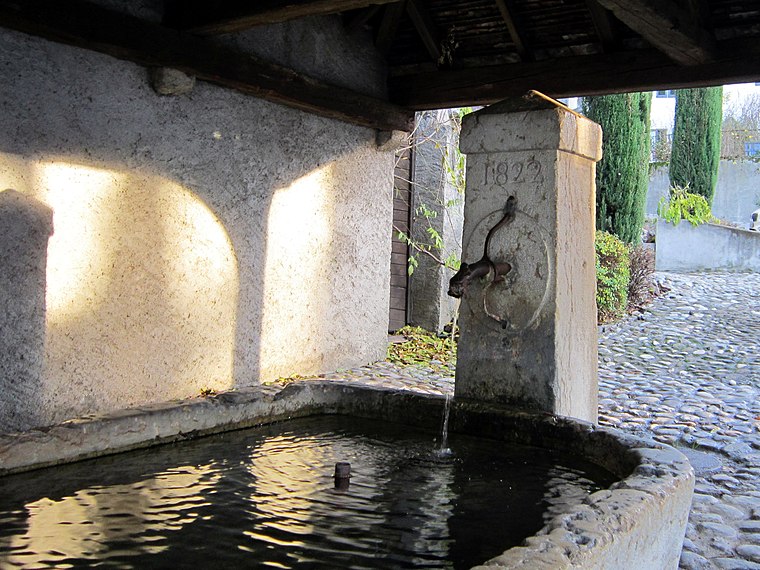
Photo: LaMèreVeille, CC BY-SA 4.0.
Fontaine lavoir du Grand-Saconnex is a fountain, which is situated 740 metres southeast of ADIC.
Places in the Area
Nearby places include Le Grand-Saconnex and Ferney-Voltaire.
Le Grand-Saconnex
Town
Photo: LaMèreVeille, CC BY-SA 4.0.
Le Grand-Saconnex is a municipality of the Canton of Geneva, Switzerland. Several international organizations and permanent missions to the United Nations are located in Grand Saconnex.
Ferney-Voltaire
Town

Photo: Patrub01, CC BY-SA 3.0.
Ferney-Voltaire is a commune in the Ain department in the Auvergne-Rhône-Alpes region of eastern France. It lies between the Jura Mountains and the Swiss border; it forms part of the metropolitan area of Geneva.
Pregny-Chambésy
Village

Photo: Jeremy.toma, CC BY-SA 4.0.
Pregny-Chambésy is a commune in the canton of Geneva in Switzerland. It is located directly north of the city of Geneva, on the south-western shore of Lake Geneva.
ADIC
- Type: Building
- Roof shape: flat
- Location: Le Grand-Saconnex, Geneva, Canton of Geneva, Switzerland, Central Europe, Europe
- View on OpenStreetMap
Latitude
46.24004° or 46° 14′ 24″ northLongitude
6.11766° or 6° 7′ 4″ eastOpen location code
8FR864R9+23OpenStreetMap ID
way 576925981OpenStreetMap feature
building=yesOpenStreetMap attribute
roof-shape=flat
This page is based on OpenStreetMap, Wikidata, and Wikimedia Commons.
We’d love your help improving our open data sources. Thank you for contributing.
Satellite Map
Discover ADIC from above in high-definition satellite imagery.
Notable Places Nearby
Highlights include Pont de Malakoff and Passerelle des Batailleux.
Nearby Places
Explore places such as Cargo Security and Fret.
Switzerland: Must-Visit Destinations
Delve into Zurich, Berne, Geneva, and Basel.
Curious Buildings to Discover
Uncover intriguing buildings from every corner of the globe.
About Mapcarta. Data © OpenStreetMap contributors and available under the Open Database License". Text is available under the CC BY-SA 4.0 license, except for photos, directions, and the map. Photo: Markus Bernet, CC BY-SA 2.5.