Village of Gleannloch Apartments
Village of Gleannloch Apartments is a residential area in Harris County, Texas. Village of Gleannloch Apartments is situated nearby to the dog park Bark Park, as well as near the health club Gleannloch Fitness Center.| Tap on a place to explore it |
Places of Interest Nearby
Highlights include David Wayne Hooks Memorial Airport.
David Wayne Hooks Memorial Airport
Aerodrome
David Wayne Hooks Memorial Airport is a public-use airport located near the city of Tomball in unincorporated Harris County, Texas. It is 23 miles northwest of the central business district of Houston.
Places in the Area
Nearby places include Klein and Kohrville.
Klein
Village
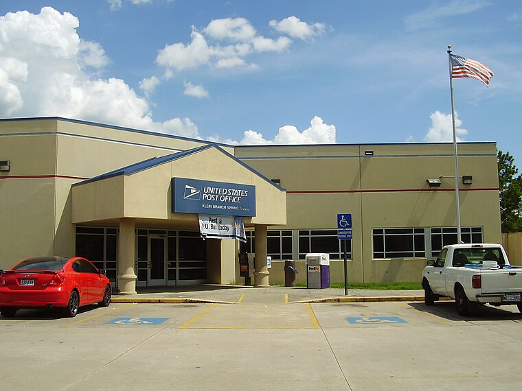
Photo: WhisperToMe, Public domain.
Klein is an unincorporated community in Harris County, Texas, United States, roughly bordering Texas State Highway 99 to the north, Texas State Highway 249 to the west, Interstate 45 to the east, and the city of Houston to the south. Klein is situated 2 miles east of Village of Gleannloch Apartments.
Kohrville
Hamlet
Kohrville, also named Korville and Pilotville, is an unincorporated community in Harris County, Texas, United States. Kohrville is situated 3 miles southwest of Village of Gleannloch Apartments.
Louetta
Neighborhood
Louetta is an unincorporated community in Harris County, Texas, United States, that was formerly a distinct community. The town was dissolved in 1946. Louetta is situated 3 miles south of Village of Gleannloch Apartments.
Village of Gleannloch Apartments
- Type: Residential area
- Location: Harris County, Texas, United States, North America
- View on OpenStreetMap
Latitude
30.04993° or 30° 2′ 60″ northLongitude
-95.56256° or 95° 33′ 45″ westOpen location code
86262CXP+XXOpenStreetMap ID
way 586414020OpenStreetMap feature
landuse=residential
This page is based on OpenStreetMap, Wikidata, and Wikimedia Commons.
We’d love your help improving our open data sources. Thank you for contributing.
Satellite Map
Discover Village of Gleannloch Apartments from above in high-definition satellite imagery.
Notable Places Nearby
Highlights include Bark Park and Gleannloch Fitness Center.
Nearby Places
Explore places such as Frank Elementary School and Torkworx.
Texas: Must-Visit Destinations
Delve into Houston, Austin, Dallas, and San Antonio.
Curious Residential Areas to Discover
Uncover intriguing residential areas from every corner of the globe.
About Mapcarta. Data © OpenStreetMap contributors and available under the Open Database License". Text is available under the CC BY-SA 4.0 license, except for photos, directions, and the map. Photo: Wikimedia, CC0.