Plaça de Sant Josep
Plaça de Sant Josep is a park in Sagunto, Valencia, Valencian Community. Plaça de Sant Josep is situated nearby to the school Col·legi d’Educació Infantil i Primària María Yocasta Ruiz Aguilera, as well as near the church Parroquia Jesús Obrero.| Tap on a place to explore it |
Places of Interest Nearby
Highlights include Faro de Canet and Port de Sagunt.
Faro de Canet
Lighthouse

Photo: Wikimedia, CC BY-SA 4.0.
Faro de Canet is a lighthouse, which is situated 1¼ km northeast of Plaça de Sant Josep.
Port de Sagunt
Beach

Photo: Tuquequeviajero, CC BY-SA 3.0.
Port de Sagunt is a beach, which is situated 1½ km southeast of Plaça de Sant Josep.
Sagunto Power Station
Power station
Sagunto Power Station is a natural gas-fired combined-cycled power station in Sagunto near Valencia, Spain. It went into operation in 2007. The power station is owned and operated by Unión Fenosa. Sagunto Power Station is situated 3½ km south of Plaça de Sant Josep.
Places in the Area
Nearby places include Canet d’en Berenguer and Grau Vell.
Canet d’en Berenguer
Village

Photo: 19Tarrestnom65, CC BY-SA 4.0.
Canet d'en Berenguer is a municipality in the comarca of Camp de Morvedre in the Valencian Community, Spain.
Grau Vell
Hamlet

Photo: Wikimedia, CC BY-SA 4.0.
Grau Vell is a hamlet, which is situated 4½ km southwest of Plaça de Sant Josep.
Faura Municipality
Village
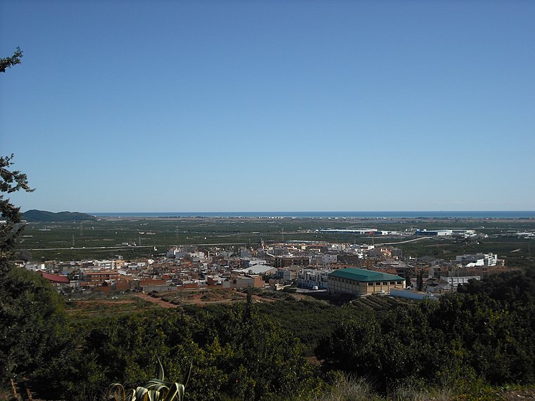
Photo: Qoan, CC BY-SA 3.0.
Faura is a municipality in the comarca of Camp de Morvedre in the Valencian Community, Spain. The patron saint of this town is Saint Barbara. During some feast days there is an event in which the people of Faura hold a procession for the image of the virgin. Faura Municipality is situated 7 km northwest of Plaça de Sant Josep.
Plaça de Sant Josep
- Type: Park
- Category: recreation area
- Location: Sagunto, Valencia, Valencian Community, Eastern Spain, Spain, Iberia, Europe
- View on OpenStreetMap
Latitude
39.67024° or 39° 40′ 13″ northLongitude
-0.22092° or 0° 13′ 15″ westOpen location code
8CFXMQCH+3JOpenStreetMap ID
way 587310645OpenStreetMap feature
leisure=park
This page is based on OpenStreetMap, Wikidata, and Wikimedia Commons.
We’d love your help improving our open data sources. Thank you for contributing.
Satellite Map
Discover Plaça de Sant Josep from above in high-definition satellite imagery.
In Other Languages
From Catalan to Spanish—“Plaça de Sant Josep” goes by many names.
- Catalan: “Plaça de Sant Josep”
- Spanish: “Plaza San José”
Notable Places Nearby
Highlights include Col·legi d’Educació Infantil i Primària María Yocasta Ruiz Aguilera and Parroquia Jesús Obrero.
Nearby Places
Explore places such as Casa and Plenergy.
Valencia: Must-Visit Destinations
Delve into Valencia, Gandía, Xàtiva, and Torrent.
Curious Parks to Discover
Uncover intriguing parks from every corner of the globe.
About Mapcarta. Data © OpenStreetMap contributors and available under the Open Database License". Text is available under the CC BY-SA 4.0 license, except for photos, directions, and the map. Photo: Poco a poco, CC BY-SA 4.0.