Instituto de Educación Secundaria Fuente de la Peña
Instituto de Educación Secundaria Fuente de la Peña is a school in Jaén, Jaén, Andalusia. Instituto de Educación Secundaria Fuente de la Peña is situated nearby to the pitch Campo de Fútbol sobre depósito de agua ‘Cuatrocaminos’, as well as near the square Terraza mirador.| Tap on a place to explore it |
Places of Interest Nearby
Highlights include Jaén Cathedral and Antigua Iglesia del Convento de San José y Camarín de Jesús.
Jaén Cathedral
Church
 The Cathedral of the Assumption is a Roman Catholic cathedral located in the city of Jaén, Spain. The current cathedral was conceived in the 16th century to replace a previous 15th century Gothic edifice. Jaén Cathedral is situated 1 km north of Instituto de Educación Secundaria Fuente de la Peña.
Antigua Iglesia del Convento de San José y Camarín de Jesús
Church
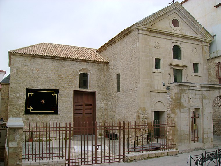
Photo: Kordas, CC BY-SA 3.0.
Antigua Iglesia del Convento de San José y Camarín de Jesús is a church, which is situated 630 metres north of Instituto de Educación Secundaria Fuente de la Peña.
Convent of Santa Teresa
Church

Photo: Kordas, CC BY-SA 3.0.
Convent of Santa Teresa is a church, which is situated 670 metres north of Instituto de Educación Secundaria Fuente de la Peña.
Places in the Area
Nearby places include La Gloria and San Ildefonso.


Castillejo de Zumel
Locality

Photo: Veinticuatro de Jahén, CC BY-SA 4.0.
Castillejo de Zumel is a locality.
Instituto de Educación Secundaria Fuente de la Peña
Latitude
37.75721° or 37° 45′ 26″ northLongitude
-3.79216° or 3° 47′ 32″ westOperator
Government of AndalusiaOpen location code
8C9RQ645+V4OpenStreetMap ID
way 589306535OpenStreetMap feature
amenity=school
This page is based on OpenStreetMap, Wikidata, and Wikimedia Commons.
We’d love your help improving our open data sources. Thank you for contributing.
Satellite Map
Discover Instituto de Educación Secundaria Fuente de la Peña from above in high-definition satellite imagery.
Notable Places Nearby
Highlights include Campo de Fútbol sobre depósito de agua ‘Cuatrocaminos’ and Terraza mirador.
Nearby Places
Explore places such as Camino Fuente Peña - F num 18 and Colegio Público Martín Noguera.
Curious Schools to Discover
Uncover intriguing schools from every corner of the globe.
About Mapcarta. Data © OpenStreetMap contributors and available under the Open Database License". Text is available under the CC BY-SA 4.0 license, except for photos, directions, and the map. Photo: Wikimedia, CC0.