BBI panorama 3
BBI panorama 3 is a residential building in Federation of Bosnia and Herzegovina, Bosnia and Herzegovina. BBI panorama 3 is situated nearby to the mosque Džamija Sedrenik, as well as near Hubjaragina džamija.| Tap on a place to explore it |
Places of Interest Nearby
Highlights include War childhood museum and Svrzo’s House.
War childhood museum
Museum
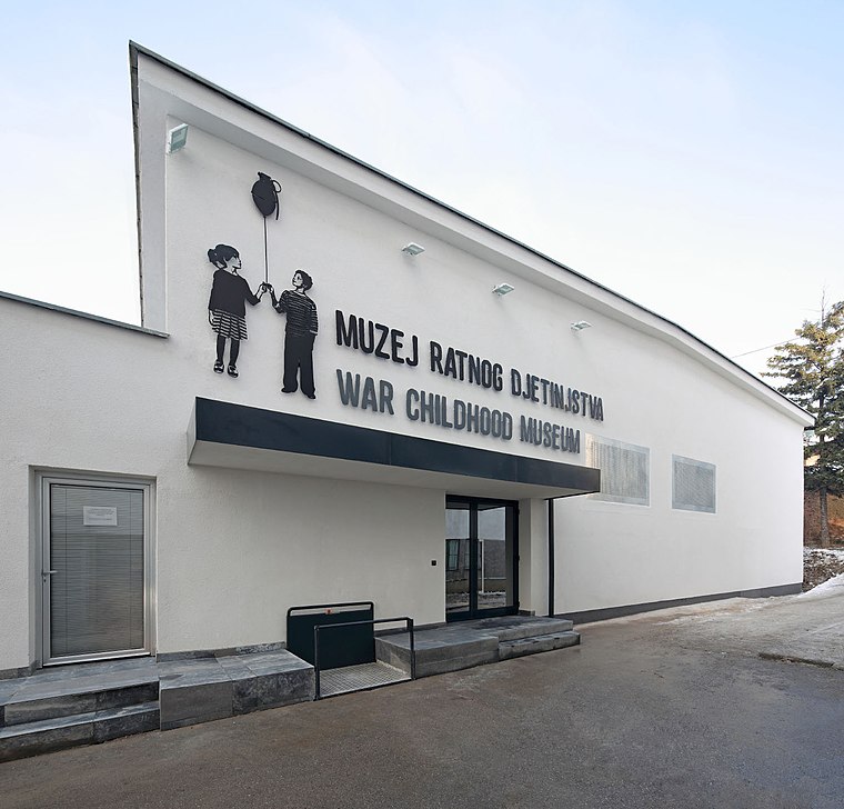
Photo: Wikimedia, CC BY-SA 4.0.
The War Childhood Museum is a historical museum in Sarajevo, Bosnia-Herzegovina that opened in January 2017. The museum presents the experiences of children who lived through the war in Bosnia, told through objects, video testimonies, and excerpts from oral histories. War childhood museum is situated 1 km south of BBI panorama 3.
Svrzo’s House
Museum

Photo: Jedudedek, CC BY-SA 2.5.
Svrzo's House is a preserved example of Ottoman-era residential architecture located in Sarajevo, Bosnia and Herzegovina. Built in the 18th century, it exemplifies the traditional urban lifestyle of a Muslim family during the Ottoman period. Svrzo’s House is situated 1 km south of BBI panorama 3.
Gazi Husrev-beg Mosque
Mosque

Photo: Bjoertvedt, CC BY-SA 3.0.
Gazi Husrev-beg Mosque is a mosque in the city of Sarajevo, Bosnia and Herzegovina. Built in the 16th century, it is the largest historical mosque in Bosnia and Herzegovina and one of the most representative Ottoman structures in the Balkans. Gazi Husrev-beg Mosque is situated 1¼ km south of BBI panorama 3.
Places in the Area
Nearby places include Baščaršija and Džidžikovac.
Baščaršija
Suburb

Photo: Dark Apostrophe, Public domain.
Baščaršija is Sarajevo's old bazaar and the historical and cultural center of the city. Baščaršija was built in the 15th century when Isa-beg Ishaković founded the city.
Džidžikovac
Neighborhood

Photo: Peretz Partensky, CC BY-SA 2.0.
Džidžikovac is a neighborhood in Sarajevo, Bosnia and Herzegovina and, since 2008, has been designated as a National Monument of Bosnia and Herzegovina.

BBI panorama 3
- Type: Residential building
- Category: building
- Location: Federation of Bosnia and Herzegovina, Bosnia and Herzegovina, Balkans, Europe
- View on OpenStreetMap
Latitude
43.87041° or 43° 52′ 14″ northLongitude
18.43148° or 18° 25′ 53″ eastOpen location code
8FMWVCCJ+5HOpenStreetMap ID
way 589779244OpenStreetMap feature
building=residential
This page is based on OpenStreetMap, Wikidata, and Wikimedia Commons.
We’d love your help improving our open data sources. Thank you for contributing.
Satellite Map
Discover BBI panorama 3 from above in high-definition satellite imagery.
Notable Places Nearby
Highlights include Džamija Sedrenik and Hubjaragina džamija.
Nearby Places
Explore places such as BBI panorama 2 and BBI panorama 1.
Bosnia and Herzegovina: Must-Visit Destinations
Delve into Sarajevo, Mostar, Banja Luka, and Tuzla.
Curious Residential Buildings to Discover
Uncover intriguing residential buildings from every corner of the globe.
About Mapcarta. Data © OpenStreetMap contributors and available under the Open Database License". Text is available under the CC BY-SA 4.0 license, except for photos, directions, and the map. Photo: Hrast, CC BY-SA 3.0.