Wasserturm Bahnhof
Wasserturm Bahnhof is a water tower in Weißenfels, Burgenlandkreis, Saxony-Anhalt. Wasserturm Bahnhof is situated nearby to the railway station Großkorbetha station, as well as near Stw R1.| Tap on a place to explore it |
Places of Interest Nearby
Highlights include Großkorbetha station and Kirche Wengelsdorf.
Großkorbetha station
Railway station

Photo: Jwaller, CC BY-SA 3.0.
Großkorbetha station is a railway station in the municipality of Großkorbetha, located in the Burgenlandkreis district in Saxony-Anhalt, Germany. Großkorbetha station is situated 120 metres south of Wasserturm Bahnhof.
Kirche Wengelsdorf
Church

Photo: Jwaller, CC BY-SA 3.0.
Kirche Wengelsdorf is a church, which is situated 2 km northeast of Wasserturm Bahnhof.
Dorfkirche Schkortleben
Ruins

Photo: Jwaller, CC BY-SA 3.0.
Dorfkirche Schkortleben is a ruins, which is situated 3 km south of Wasserturm Bahnhof.
Places in the Area
Nearby places include Oeglitzsch and Oebles-Schlechtewitz.
Oeglitzsch
Village

Photo: Wolkenkratzer, CC BY-SA 4.0.
Oeglitzsch is a village, which is situated 3 km south of Wasserturm Bahnhof.
Oebles-Schlechtewitz
Village
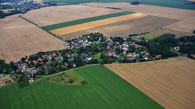
Photo: Wolkenkratzer, CC BY-SA 4.0.
Oebles-Schlechtewitz is a village, which is situated 3 km southeast of Wasserturm Bahnhof.
Bad Dürrenberg
Town

Photo: Wikimedia, CC BY-SA 3.0.
Bad Dürrenberg is a spa town in the Saalekreis district, in Saxony-Anhalt, Germany. It is situated on the river Saale, approx. 8 km southeast of Merseburg. It is known for its historic graduation tower, the largest one in Germany. Bad Dürrenberg is situated 4½ km northeast of Wasserturm Bahnhof.
Wasserturm Bahnhof
- Type: Water tower
- Address: Großkorbetha, Weißenfels
- Categories: building, historic site, and industry
- Location: Weißenfels, Burgenlandkreis, Saxony-Anhalt, Germany, Central Europe, Europe
- View on OpenStreetMap
Latitude
51.26825° or 51° 16′ 6″ northLongitude
12.02254° or 12° 1′ 21″ eastOpen location code
9F3J729F+72OpenStreetMap ID
way 591808328OpenStreetMap feature
building=yesOpenStreetMap feature
historic=yesOpenStreetMap feature
man_made=water_tower
This page is based on OpenStreetMap, Wikidata, and Wikimedia Commons.
We’d love your help improving our open data sources. Thank you for contributing.
Satellite Map
Discover Wasserturm Bahnhof from above in high-definition satellite imagery.
Places with the Same Name
Discover other places named “Wasserturm Bahnhof”.
Notable Places Nearby
Highlights include Stw R1 and Löschwasserteich.
Nearby Places
Explore places such as Großkorbetha and Großkorbetha.
Saxony-Anhalt: Must-Visit Destinations
Delve into Magdeburg, Halle, Wittenberg, and Quedlinburg.
Curious Water Towers to Discover
Uncover intriguing water towers from every corner of the globe.
About Mapcarta. Data © OpenStreetMap contributors and available under the Open Database License". Text is available under the CC BY-SA 4.0 license, except for photos, directions, and the map. Photo: GMM, Public domain.