FKK
FKK is a beach in Brandenburg, Germany. FKK is situated nearby to the recreation area Südsee, as well as near Senftenberger See.| Tap on a place to explore it |
Places of Interest Nearby
Highlights include Observation tower at Senftenberger See and Insel im Senftenberger See.
Observation tower at Senftenberger See
Scenic viewpoint

Photo: LeonRascal, CC BY-SA 3.0.
Observation tower at Senftenberger See is a scenic viewpoint, which is situated 1½ km east of FKK.
Insel im Senftenberger See
Protected area

Photo: Z thomas, CC BY-SA 3.0.
Insel im Senftenberger See is a protected area, which is situated 2 km northeast of FKK.
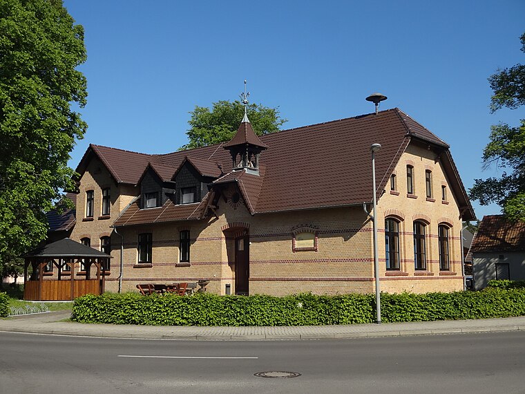
Hosena station
Railway station

Photo: Platte, CC BY-SA 3.0.
Hosena station is a station at the junction of the Węgliniec–Roßlau railway and the Lübbenau–Kamenz railway. The station is located in the southeast of the German state of Brandenburg in the village of Hosena, north of the village of Hohenbocka. Hosena station is situated 3 km southeast of FKK.
Places in the Area
Nearby places include Peickwitz and Niemtsch.


FKK
- Type: Beach
- Category: landform
- Location: Brandenburg, Germany, Central Europe, Europe
- View on OpenStreetMap
Latitude
51.4783° or 51° 28′ 42″ northLongitude
13.99525° or 13° 59′ 43″ eastOpen location code
9F3MFXHW+84OpenStreetMap ID
way 610314062OpenStreetMap feature
natural=beach
This page is based on OpenStreetMap, Wikidata, and Wikimedia Commons.
We’d love your help improving our open data sources. Thank you for contributing.
Satellite Map
Discover FKK from above in high-definition satellite imagery.
Places with the Same Name
Discover other places named “FKK”.
Notable Places Nearby
Highlights include Südsee and Südsee FKK.
Nearby Places
Explore places such as Tauchsportverein Dino e.V. and Knotenpunkt 7.
Brandenburg: Must-Visit Destinations
Delve into Potsdam, Cottbus, Frankfurt an der Oder, and Brandenburg an der Havel.
Curious Beaches to Discover
Uncover intriguing beaches from every corner of the globe.
About Mapcarta. Data © OpenStreetMap contributors and available under the Open Database License". Text is available under the CC BY-SA 4.0 license, except for photos, directions, and the map. Photo: Leviathan1983, CC BY-SA 3.0.