サッポログループ物流
サッポログループ物流 is in Iwakura-shi, Aichi. サッポログループ物流 is situated nearby to the dog park 尾張・犬の学校, as well as near the school 北名古屋市立熊野中学校.| Tap on a place to explore it |
Places of Interest Nearby
Highlights include Taisanji Station and 賢林寺.
Taisanji Station
Railway station

Photo: ButuCC, CC BY-SA 4.0.
Taisanji Station is a railway station in the city of Iwakura, Aichi Prefecture, Japan, operated by Meitetsu. Taisanji Station is situated 1 km west of サッポログループ物流.
賢林寺
Buddhist temple

Photo: 運動会プロテインパワー, CC BY-SA 4.0.
賢林寺 is a Buddhist temple, which is situated 600 metres north of サッポログループ物流.
Tokushige-Nagoya-Geidai Station
Railway station

Photo: ButuCC, CC BY-SA 3.0.
Tokushige-Nagoya-Geidai Station is a railway station in the city of Kitanagoya, Aichi Prefecture, Japan, operated by Meitetsu. Tokushige-Nagoya-Geidai Station is situated 1¼ km southwest of サッポログループ物流.
Places in the Area
Nearby places include Toyoyama and Kusunoki 3-chome.
Toyoyama
Town

Photo: Tmv, CC BY-SA 4.0.
Toyoyama is a town located in Nishikasugai District, Aichi Prefecture, Japan. As of 1 October 2019, the town had an estimated population of 15,630 in 6,757 households, and a population density of 2,529 persons per km2. Toyoyama is situated 3 km southeast of サッポログループ物流.
Kusunoki 3-chome
Neighborhood
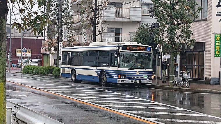
Photo: 円周率3パーセント, CC BY-SA 4.0.
Kusunoki 3-chome is a neighborhood, which is situated 5 km southeast of サッポログループ物流.
Ōguchi
Town

Photo: Wikimedia, CC BY-SA 3.0.
Ōguchi is a town located in Niwa District, Aichi Prefecture, Japan. As of 1 October 2019, the town had an estimated population of 24,160 in 9547 households, and a population density of 1,775 persons per km2. Ōguchi is situated 8 km north of サッポログループ物流.
サッポログループ物流
- Type: Industry
- Location: Iwakura-shi, Aichi, Chubu, Japan, East Asia, Asia
- View on OpenStreetMap
Latitude
35.26344° or 35° 15′ 48″ northLongitude
136.88472° or 136° 53′ 5″ eastOpen location code
8Q7R7V7M+9VOpenStreetMap ID
way 611870040OpenStreetMap feature
landuse=industrial
This page is based on OpenStreetMap, Wikidata, and Wikimedia Commons.
We’d love your help improving our open data sources. Thank you for contributing.
Satellite Map
Discover サッポログループ物流 from above in high-definition satellite imagery.
Notable Places Nearby
Highlights include 尾張・犬の学校 and 北名古屋市立熊野中学校.
Nearby Places
Explore places such as Country Farm and いぶき野クリニック.
Aichi: Must-Visit Destinations
Delve into Nagoya, Toyota, Toyohashi, and Okazaki.
Curious Places to Discover
Uncover intriguing places from every corner of the globe.
About Mapcarta. Data © OpenStreetMap contributors and available under the Open Database License". Text is available under the CC BY-SA 4.0 license, except for photos, directions, and the map. Photo: Alpsdake, CC BY-SA 3.0.