Rocky Mount Mills Personnel Building
Rocky Mount Mills Personnel Building is a retail building in Rocky Mount Township, Nash, North Carolina which is located on Falls Road. Rocky Mount Mills Personnel Building is situated nearby to the reservoir Rocky Mount Mill Pond.| Tap on a place to explore it |
Places of Interest Nearby
Highlights include Rocky Mount station.
Rocky Mount station
Railway station

Photo: DanTD, CC BY-SA 3.0.
Rocky Mount station, officially the Helen P. Gay Rocky Mount Historic Train Station, is an intermodal transit station in Rocky Mount, North Carolina, United States. Rocky Mount station is situated 1½ miles south of Rocky Mount Mills Personnel Building.
Places in the Area
Nearby places include Rocky Mount.
Rocky Mount
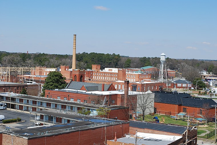
Photo: Shamirbrown, CC BY-SA 4.0.
Rocky Mount is a city in North Carolina. Its dawning days were more or less centered around cotton mills in the early 19th century, though it was settled as early as the 1700s by Europeans.
Rocky Mount Mills Personnel Building
- Type: Retail building
- Address: 1135 Falls Road, Rocky Mount, NC 27804
- Category: building
- Location: Rocky Mount Township, Nash, North Carolina, South, United States, North America
- View on OpenStreetMap
Latitude
35.95858° or 35° 57′ 31″ northLongitude
-77.80208° or 77° 48′ 8″ westLevels
2Open location code
8774X55X+C5OpenStreetMap ID
way 619541879OpenStreetMap feature
building=retail
This page is based on OpenStreetMap, Wikidata, and Wikimedia Commons.
We’d love your help improving our open data sources. Thank you for contributing.
Satellite Map
Discover Rocky Mount Mills Personnel Building from above in high-definition satellite imagery.
Notable Places Nearby
Highlights include Rocky Mount Mill Pond and UEC Theatres 14.
Nearby Places
Explore places such as Tap @ 1918 and Goat Island Bottle Shop.
North Carolina: Must-Visit Destinations
Delve into Charlotte, Raleigh, Asheville, and Greensboro.
Curious Retail Buildings to Discover
Uncover intriguing retail buildings from every corner of the globe.
About Mapcarta. Data © OpenStreetMap contributors and available under the Open Database License". Text is available under the CC BY-SA 4.0 license, except for photos, directions, and the map. Photo: southernfoodwaysalliance, CC BY 2.0.