Sitterhof
Sitterhof is a farm in Willich, Viersen, North Rhine-Westphalia. Sitterhof is situated nearby to the church Hubertuskapelle, as well as near the pitch Reitplatz.| Tap on a place to explore it |
Places of Interest Nearby
Highlights include Saint John the Baptist Church and Haus Broich.
Saint John the Baptist Church
Church

Photo: Ichmichi, CC BY-SA 3.0.
Saint John the Baptist Church is situated 1 km west of Sitterhof.
Haus Broich
School building

Photo: LuBo76, CC BY-SA 4.0.
Haus Broich is a school building, which is situated 690 metres southeast of Sitterhof.
Jüdischer Friedhof
Heritage site

Photo: Wikimedia, CC BY-SA 3.0 de.
Jüdischer Friedhof is a heritage site, which is situated 1½ km southeast of Sitterhof.
Places in the Area
Nearby places include Anrath and Vennheide.


Neersen
Suburb
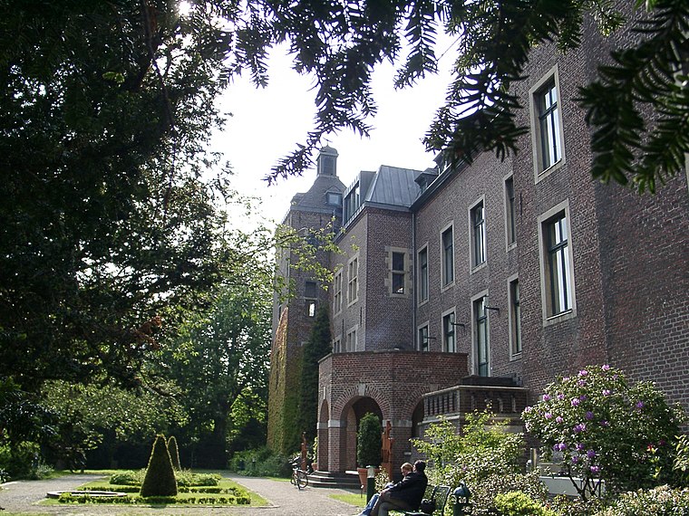
Photo: Historiograf, CC BY 2.0.
Neersen is a suburb, which is situated 2½ km south of Sitterhof.
Sitterhof
- Type: Farm
- Category: agriculture
- Location: Willich, Viersen, Düsseldorf, North Rhine-Westphalia, Germany, Central Europe, Europe
- View on OpenStreetMap
Latitude
51.27582° or 51° 16′ 33″ northLongitude
6.47812° or 6° 28′ 41″ eastOpen location code
9F387FGH+86OpenStreetMap ID
way 620608608OpenStreetMap feature
landuse=farmyard
This page is based on OpenStreetMap, Wikidata, and Wikimedia Commons.
We’d love your help improving our open data sources. Thank you for contributing.
Satellite Map
Discover Sitterhof from above in high-definition satellite imagery.
Notable Places Nearby
Highlights include Hubertuskapelle and Reitplatz.
Nearby Places
Explore places such as Sitterhof and Dückers.
North Rhine-Westphalia: Must-Visit Destinations
Delve into Cologne, Düsseldorf, Bonn, and Dortmund.
Curious Farms to Discover
Uncover intriguing farms from every corner of the globe.
About Mapcarta. Data © OpenStreetMap contributors and available under the Open Database License". Text is available under the CC BY-SA 4.0 license, except for photos, directions, and the map. Photo: Daniel Schwen, CC BY-SA 2.5.