beim Klosen
beim Klosen is a farm in Maxhütte-Haidhof, Schwandorf, Bavaria. beim Klosen is situated nearby to the sports venue Schützenverein Jägerblut Rappenbügl, as well as near the forest Birkenberg.| Tap on a place to explore it |
Places of Interest Nearby
Highlights include Maxhütte-Haidhof and Segenskirche.
Maxhütte-Haidhof
Railway station
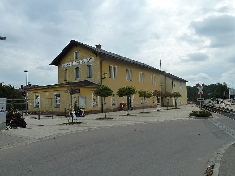
Photo: Global Fish, CC BY-SA 3.0.
Maxhütte-Haidhof is a railway station, which is situated 1 km southeast of beim Klosen.
Segenskirche
Church

Photo: Rascal84, CC BY-SA 3.0.
Segenskirche is a church, which is situated 700 metres southwest of beim Klosen.
St. Barbara
Church

Photo: DALIBRI, CC BY-SA 4.0.
St. Barbara is a church, which is situated 740 metres southwest of beim Klosen.
Places in the Area
Nearby places include Münchshofen and Hirschling.
Münchshofen
Village

Photo: Msuess, CC BY-SA 3.0.
Münchshofen is a village, which is situated 4½ km north of beim Klosen.
Hirschling
Village

Photo: Wikimedia, CC BY-SA 3.0.
Hirschling is a village, which is situated 4½ km east of beim Klosen.
Heilinghausen
Village

Photo: Wikimedia, CC BY-SA 3.0.
Heilinghausen is a village, which is situated 5 km southeast of beim Klosen.
beim Klosen
- Type: Farm
- Category: agriculture
- Location: Maxhütte-Haidhof, Schwandorf, Upper Palatinate, Bavaria, Germany, Central Europe, Europe
- View on OpenStreetMap
Latitude
49.20453° or 49° 12′ 16″ northLongitude
12.10224° or 12° 6′ 8″ eastOpen location code
8FXJ6432+RVOpenStreetMap ID
way 621120603OpenStreetMap feature
landuse=farmyard
This page is based on OpenStreetMap, Wikidata, and Wikimedia Commons.
We’d love your help improving our open data sources. Thank you for contributing.
Satellite Map
Discover beim Klosen from above in high-definition satellite imagery.
Notable Places Nearby
Highlights include Schützenverein Jägerblut Rappenbügl and Birkenberg.
Nearby Places
Explore places such as Graf-Stodl and der Siedlhof.
Upper Palatinate: Must-Visit Destinations
Delve into Regensburg, Amberg, Cham, and Schwandorf.
Curious Farms to Discover
Uncover intriguing farms from every corner of the globe.
About Mapcarta. Data © OpenStreetMap contributors and available under the Open Database License". Text is available under the CC BY-SA 4.0 license, except for photos, directions, and the map. Photo: Wikimedia, CC0.